Trimble’s New Total Station Provides Millimeter Accuracy for Monitoring Applications
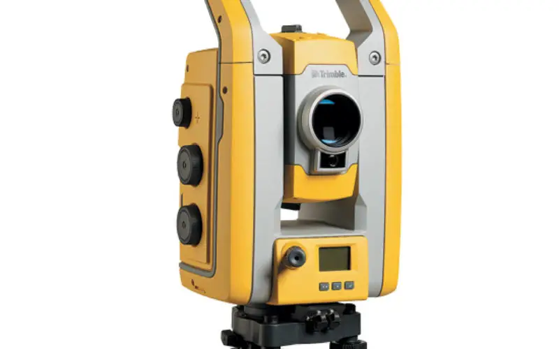
Trimble S5 Ti-M Features FineLock Technology—Locks onto Targets with Precision in Congested Work Areas
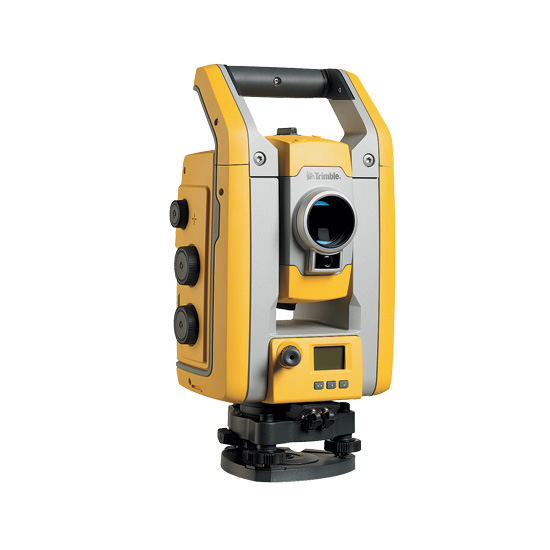
Trimble S5 Ti-M
SUNNYVALE, Calif., April 12, 2017—Trimble (NASDAQ: TRMB) announced today the release of a new monitoring device, the Trimble® S5 Ti-M total station. The S5 Ti-M was specifically designed as a powerful, yet cost-effective solution scalable for monitoring projects of any size, from short-term jobs to multi-year construction operations. The S5 Ti-M’s performance and capability is ideal for the monitoring of buildings above tunnel construction and close to excavation sites. It is also well suited for monitoring the subsidence of road surfaces and embankments. The total station is built to withstand the rigors of the most challenging environments and the most extreme work conditions.
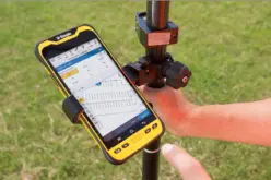
The S5 Ti-M features Trimble’s FineLock™ technology provides a pointing precision of less than 1 millimeter at a distance of 300 meters. FineLock is a smart tracker sensor with a narrow field of view that enables the Trimble S5 Ti-M to detect a target without interference from surrounding prisms—an important feature when operating in congested worksites where multiple optical devices may be running in close proximity to one another.
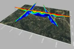
The S5 Ti-M provides millimeter-level accuracy and 3D position information for buildings and other structures. When integrated with Trimble’s 4D Control software, the S5 Ti-M is an even more powerful optical tool capable of handling the most complex monitoring applications. Trimble 4D Control software provides the data needed to assess the speed, direction and magnitude of movements, and effectively manages and analyzes the data to help make the most informed decisions about structural health and integrity.
“Trimble continues to innovate with products and solutions that improve productivity for our customers across a variety of industries, and the S5 Ti-M total station is the latest example,” said Shawn Hilliard, business area director for Trimble’s Monitoring Solutions Business Area. “We developed a total station that meets the accuracy, performance and affordability parameters for monitoring projects that require an adaptable solution for virtually any work environment.”
Availability
The Trimble S5 Ti-M total station is available now from Trimble’s Monitoring Distribution Network. For more information, visit: http://www.trimble.com/Infrastructure/Total-Stations.
About Trimble Monitoring Solutions
Trimble’s portfolio of advanced sensor solutions, application software and state-of-the-art recorders provide proven integrated tools for monitoring and earth systems applications. The solutions allow organizations to monitor the integrity of a building, dam, mine, bridge and other structures, or natural hazards monitoring the seismic activity for a project and surrounding communities. Trimble’s customizable and scalable monitoring solutions harness the power of GNSS, optical, seismic, engineering and geotechnical sensors to provide in-depth measurement, data analysis and management tools to help organizations meet a range of project requirements from periodic deformation measurements to real-time automated monitoring solutions. For more information about Trimble Monitoring Solutions, visit: http://www.trimble.com/monitoring.
About Trimble
Trimble is transforming the way the world works by delivering products and services that connect the physical and digital worlds. Core technologies in positioning, modeling, connectivity and data analytics enable customers to improve productivity, quality, safety and sustainability. From purpose built products to enterprise lifecycle solutions, Trimble software, hardware and services are transforming a broad range of industries such as agriculture, construction, geospatial and transportation and logistics.