Groundwater mapping in Kenya has received a major boost through the use of remote sensing technologies, spearheaded by the U.S. Geological Survey (USGS), USAID, and Northern Arizona University. Remote sensing is at the heart of this initiative, providing advanced tools to help identify potential groundwater sources in the region, especially in areas suffering from arid conditions.
This project involves four key components: using satellite data to detect shallow groundwater, performing hydrogeologic assessments for deeper water sources, conducting economic evaluations for sustainable water use, and providing training for Kenyan professionals in remote sensing and hydrogeology.
Remote sensing plays a crucial role in groundwater mapping in Kenya, with the project using radar and Landsat data to produce maps that show potential infiltration areas and vegetation indices. These maps, when combined with hydrogeological data, help to create Potential Groundwater (PGW) maps.
Also read – USGS Advances Colorado Geological Mapping with Low-Flying Helicopters
These PGW maps are vital for pinpointing locations suitable for drilling wells, a critical step in expanding Kenya’s water resources. The USGS has also employed its Groundwater Exploration Navigation Systems (GWENS) tool, which integrates PGW maps with GPS data to identify optimal drilling locations, especially in semi-arid regions.
Capacity building is another significant aspect of the project, as the USGS and its partners have trained Kenyan water resource professionals on the use of remote sensing technologies and hydrogeologic analysis.
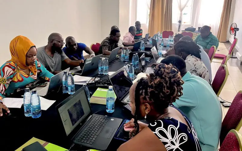
A recent training session held in Mombasa equipped 27 attendees from 16 Kenyan government agencies with hands-on skills to perform these assessments themselves. By processing satellite data, these professionals are better prepared to identify areas suitable for well drilling and groundwater extraction.
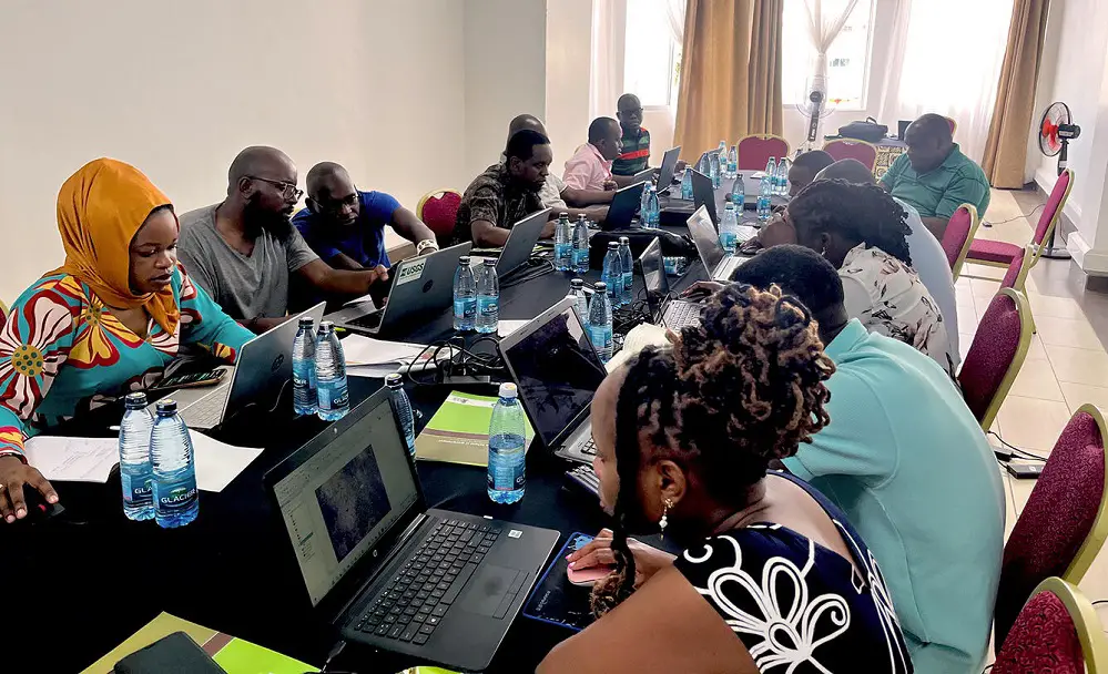
Source: Photo release signed by Kenyan water professionals
This effort not only addresses immediate water needs but also lays the foundation for sustainable water management in the future. The combination of remote sensing and hydrogeological expertise enables the Kenyan government to conduct in-depth groundwater assessments, ensuring a long-term solution to water scarcity in both arid and semi-arid regions.
By making use of advanced mapping techniques, the project exemplifies how modern technology can aid in groundwater mapping in Kenya, offering a more resilient and informed approach to water management.
In conclusion, this collaborative effort between USGS, USAID, and local experts highlights the importance of technological innovation in tackling water shortages. With remote sensing playing a central role in groundwater mapping in Kenya, the country is better positioned to locate and manage its water resources efficiently, providing a sustainable solution for millions of people living in drought-prone areas.
This approach not only supports immediate water supply development but also builds local capacity for ongoing water resource management.
Source: USGS


