
Archive
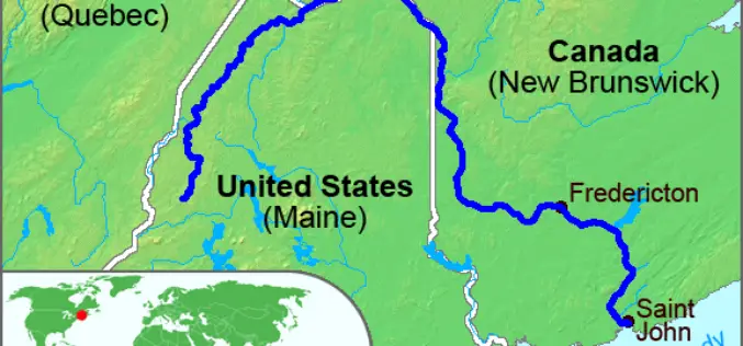
High-Precision Land-Cover-Land-Use GIS Mapping and Land Availability and Suitability Analysis for Grass Biomass Production in the Aroostook River Valley, Maine, USA
High-Precision Land-Cover-Land-Use GIS Mapping and Land Availability and Suitability Analysis for Grass Biomass Production in the Aroostook River Valley, Maine, USA – Chunzeng Wang , Jason Johnston, David Vail, Jared Dickinson and

Download Free Landsat 8 Imagery from the Amazon Web Services Cloud
Amazon has announced the availability of Landsat on Amazon Web Services. Under this program, Amazon will host 1 petabyte of Landsat imagery from USGS on the Amazon Web Services Cloud. You
Citizen-Monitoring, Crowdsourcing New-Age Alert Tools (Tech Feature)
Crowdsourcing information can aid in early warning, says an American researcher who is working to scale up a satellite-based map of hydropower projects in the Himalayas into a mobile-phone based
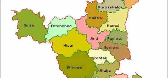
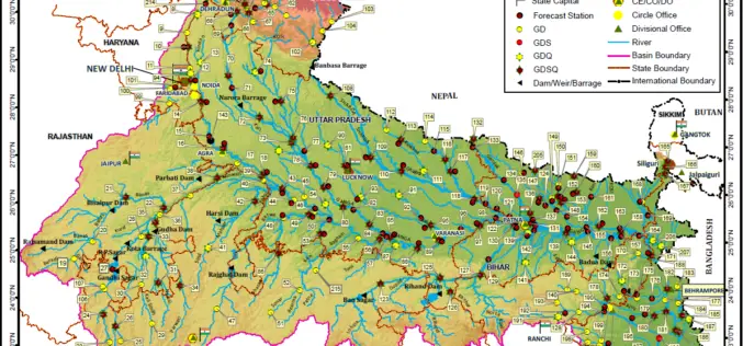
Haryana Government Sanctioned Rs 1.93 Crore Innovation Fund
In recent news, the Haryana government has sanctioned innovation funds of over Rs 1.93 crore to four districts namely Faridabad, Gurgaon, Karnal and Kurukshetra. Sumita Misra, principal secretary, science and
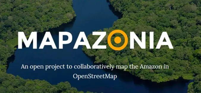
MAPAZONIA – A Crowdsourced Project to Map the Amazon
The Amazon rainforest also known in English as Amazonia or the Amazon Jungle covers most of the Amazon Basin of South America. This region includes territory belonging to nine countries: Brazil, Bolivia, peru, Ecuadoe, Colombia, Venezuela, Guyana, and
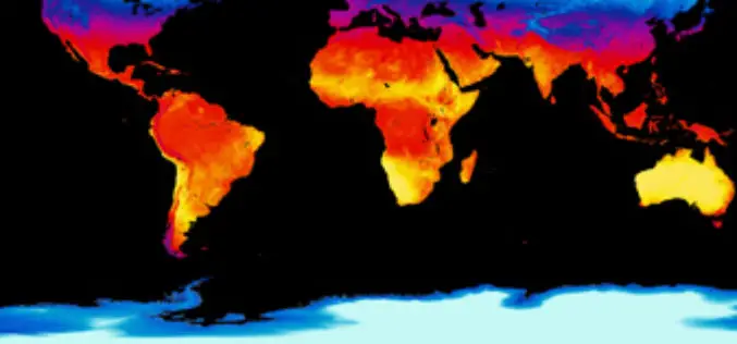
Estimation and Validation of Land Surface Temperatures from Chinese Second-Generation Polar-Orbit FY-3A VIRR Data
Estimation and Validation of Land Surface Temperatures from Chinese Second-Generation Polar-Orbit FY-3A VIRR Data – Bo-Hui Tang, Kun Shao , Zhao-Liang Li, Hua Wu, Françoise Nerry and Guoqing Zhou Abstract: This work estimated and validated
Penn State University Offering Course on Maps and the Geospatial Revolution
Learn how advances in geospatial technology and analytical methods have changed how we do everything, and discover how to make maps and analyze geographic patterns using the latest tools. Penn

2015 USGIF Scholarship Program
USGIF’s purpose is to promote the geospatial intelligence tradecraft and to develop a stronger community of interest between government, industry, academia, professional organizations and individuals who share a mission focused
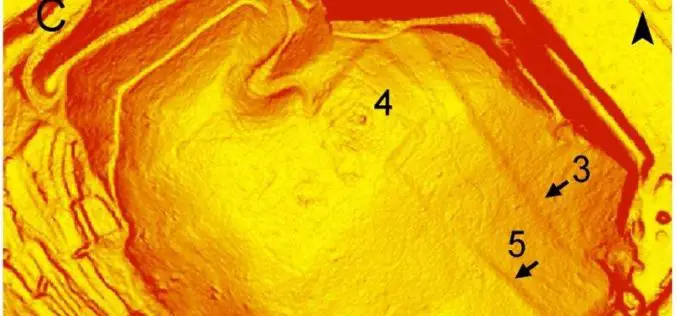
Airborne LiDAR Led To the Discovery of an Early Roman Fortification System
An interdisciplinary study by Federico Bernardini et.al., airborne light detection and ranging (LiDAR), ground penetrating radar (GPR), and archaeological surveys of the archaeological landscape of the Trieste area (northeastern Italy),

PR: Now Add Location Intelligence to Apps with MapmyIndia Map APIs
18th March, New Delhi: MapmyIndia today announced the public launch of its Map API platform for software developers and enterprises. MapmyIndia’s API (Application Programming Interface) platform consists of individual APIs
