
Posts From GIS Resources
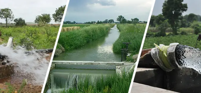
Irrigation Census to Map Natural Water Bodies
In a statement given by the Minister of State for Jal Shakti, Government of India, Shri Bishweswar Tudu, the minister has informed about the minor irrigation census to map natural water bodies.
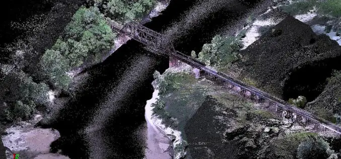
Drone LiDAR for River Scour Survey
Rivers are constantly changing natural systems, and understanding their dynamics is crucial for effective management and planning. One important aspect of river systems is scoured, which refers to the erosion
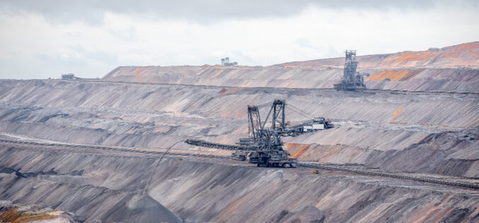
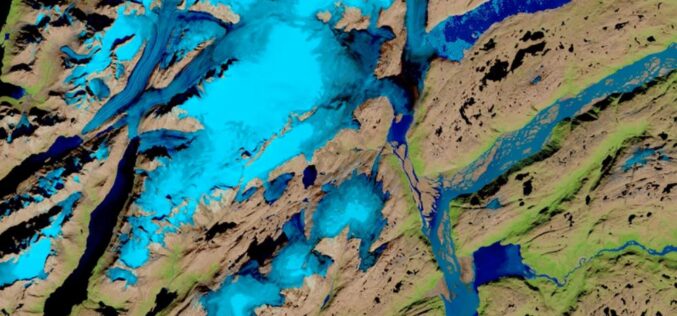
Observation of Landscape Changes in Coal Mining Areas using Satellite Image
Coal mining can significantly impact the landscape and surrounding environment, including changes in land use, vegetation cover, and water resources. Understanding these changes and monitoring them over time is crucial

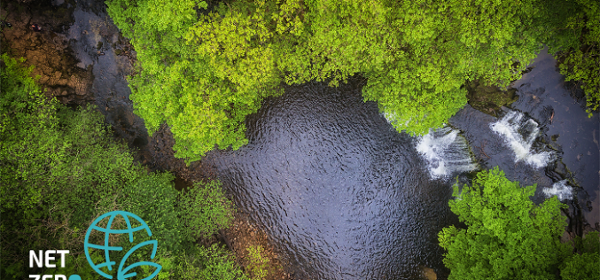
Utilization of Geospatial Data to Mitigate Climate Risk
The increasing impact of climate change has become a major concern for governments, businesses, and communities around the world. Geospatial data, which includes information about the Earth’s surface features, such
Geospatial Tech Firm Sets its Sights on Sustainable Data Solutions
One of the UK’s leading geospatial technology companies is scaling up its data-led asset management support for major utility and infrastructure organisations, helping to minimise their environmental impact. MGISS works with clients such as Northumbrian
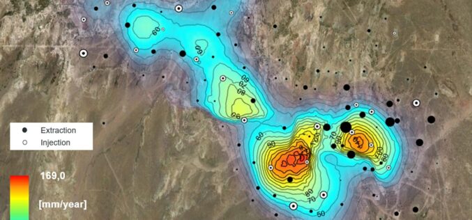
Effective usage of SAR data to monitor Oilfield Ground Displacement
Oilfields are essential to the world’s energy supply, and monitoring their stability is critical to ensure safe and sustainable production. One way to monitor oilfields is through Synthetic Aperture Radar

Usage of 3D Geospatial Data in Smart City
After COVID-19 across the globe, governments are ready to invest in smart city expansion in all possible locations of each geography. The productive outcome of economic development will be reached

Geospatial Imagery Analytics Market revenue to hit US$50 Bn by 2032
As per a recent industry report put forward by Global Market Insights, Inc. Geospatial Imagery Analytics Market is forecast to register its name in the billion-dollar fraternity down the line

Lemur Mobile GIS Solution from Locana Now an SAP® Endorsed App as Part of SAP’s Industry Cloud Portfolio
Lemur Adds Geospatial Capabilities to SAP Service and Asset Manager Mobile App Locana, an international leader in spatial technology, announced that SAP has premium certified Locana’s Lemur mobile GIS solution as an SAP Endorsed App. It is available on SAP® Store as part
The Impact of Climate Change is Being Researched using AI by IBM and NASA
IBM and NASA’s Marshall Space Flight Center have recently announced a partnership to employ IBM’s artificial intelligence (AI) technology to unearth new insights in NASA’s huge repository of Earth and

