Bengaluru Civic Corporation to Use Drones for Mapping Property & Taxes
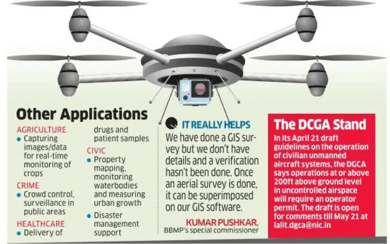
India-According to recent news, Bengaluru civic corporation is all set to use unmanned aerial systems (UAS), commonly known as drones, to map urban properties and property taxes. This could help the Bengaluru civic corporation improve its poor tax collection.
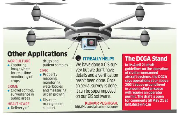
Property tax is the only major source of revenue for the BBMP. The civic body’s record in tax collection, however, has not been up to the mark. In the past fiscal, the tax collection target was Rs 2,456 crore from an estimated 15 lakh properties, against which BBMP could collect only Rs 1,900 crore. For 2016-17, the property tax potential is pegged at Rs 2,400 crore.
Credit: ETReality
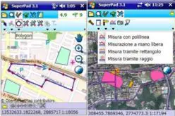
Drones have been used locally by government agencies here. Last year, they were used for a mapping study at the Bannerghatta National Park to monitor encroachment, entry of animals into human settlements and inspection of forest boundaries. Similarly, the Bengaluru police used drones for monitoring crowds on the new year eve two years ago. Going forward, drones can be used to check building plan violations in an urban setting.
The Urban Development Department and the Karnataka Knowledge Commission (KKC) have mooted the idea, with the latter already exploring the potential of UAS technology in various sectors. “A pilot will be done in one area in the city for which we are scouting for project partners,” KKC member secretary Mukund K Rao said.
“The Directorate General of Civil Aviation has come out with a draft policy on the use of drones based on floor-area ratio regulation. Our policy document will be based on this,” said task group member Krishna Venkatesh.
Source: ETReality