Courses
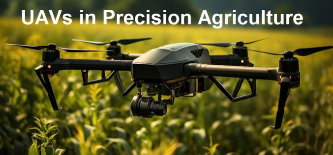
Free Course Offered by ITC on UAVs in Precision Agriculture
Are you fascinated by the role of UAVs in modern precision agriculture? If so, this comprehensive and free online course is designed for you! Tailored by UAV remote sensing experts,
Training Announcement – Drought Monitoring, Prediction, and Projection using NASA Earth System Data
The United Nations has documented that drought frequency and duration have increased globally since 2000. According to this report 2.3 billion people around the world are currently facing water stress.
SWAYAM’s “Basics of Remote Sensing, GIS, and GNSS Technology” Course is Now Accepting Enrollments
Basics of Remote Sensing GIS & GNSS and its Applications
ISRO Online Course on SAR Data Processing and its Applications
To further enhance the outreach of geospatial science and technology Indian Institute of Remote Sensing (IIRS), Indian Space Research Organisation (ISRO) offers Massive Open Online Courses (MOOC) for international participants.
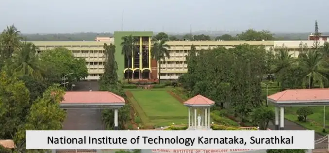
NIT Karnataka is Offering Free Course on Machine and Deep Learning for Remote Sensing Applications
NIT Karnataka is Offering is offering two weeks online summer school on Machine and Deep Learning for Remote Sensing Applications.
Register for IIRS Online Courses on Remote Sensing, GIS & GNSS Applications
About IIRS The Indian Institute of Remote Sensing (IIRS) foundation, is a constituent unit of Indian Space Research Organization (ISRO), Department of Space, Govt. of India. Since its foundation in
Penn State University Launches New Graduate Certificate for Geospatial Software Developers
Certificate in geospatial programming and web map development being offered exclusively online through Penn State World Campus NIVERSITY PARK, Pa. – July 2, 2018 – Penn State has launched a
ARSET Advanced Webinar: Land Cover Classification with Satellite Imagery
Advanced Webinar: Accuracy Assessment of a Land Cover Classification Dates: Tuesday, February 13, 2018 to Tuesday, February 20, 2018 Times: 11:00-13:00 and 23:00-01:00 EST (UTC-5) In last year’s ARSET Advanced Webinar: Land Cover Classification
Training on Earth Observation and Geospatial Technologies for Water Resources Management in Afghanistan
Training on Earth Observation and Geospatial Technologies for Water Resources Management in Afghanistan 17 Dec 2017 to 27 Dec 2017, Kabul University As part of its series of capacity building initiatives
Learn SNAP Using EU Flagship Copernicus Satellite Program
Geo University has come up with a video course that provides a detailed walkthrough guide of the European Space Agency (ESA) Sentinels Application Platform (SNAP) software. A common architecture for all Sentinel Toolboxes is


