
GIS
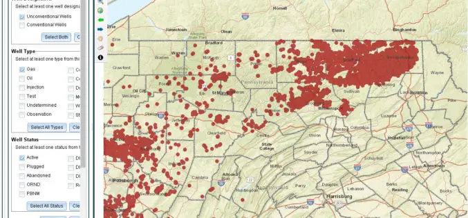
Pennsylvania Launches New GIS Application and Tutorial to Help Users Find Oil & Gas Well Mapping Information
Harrisburg, PA – The Department of Environmental Protection (DEP) today released an updated version of a GIS application that allows users to learn information and download reports about oil and
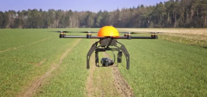
Govt. to Use Drones Based Technologies in Farming Sector
During the Monsoon session of Indian Parliament, the Minister of State in the Ministry of Agriculture and Farmers Welfare, Shri Sudarshan Bhagat had informed the house that soon drone or
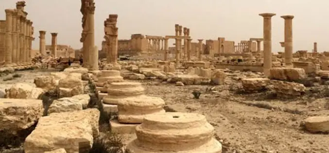
Two UN Agencies Adopted Geospatial Technologies to Protect Cultural Heritage
Two United Nations agencies (UNOSAT and UNITAR) have signed an agreement to protect cultural and natural heritage sites by using the latest geospatial technologies, including a satellite imaging system. The

Global GIS Analytics Market to Grow at a CAGR of 18.25% During 2016-2020
According to a report published by the Research and Markets, the global GIS analytics market to grow at a CAGR of 18.25% during the period 2016-2020. The report, Global Geographic Information System

Singapore Housing & Development Board Leverages Geospatial Technology for Land Use Planning
Since land-use planning is vital in a land-scarce Singapore, the republic’s Housing & Development Board (HDB) has leveraged Geographic Information System (GIS) technology in its Integrated Planning and Analysis system
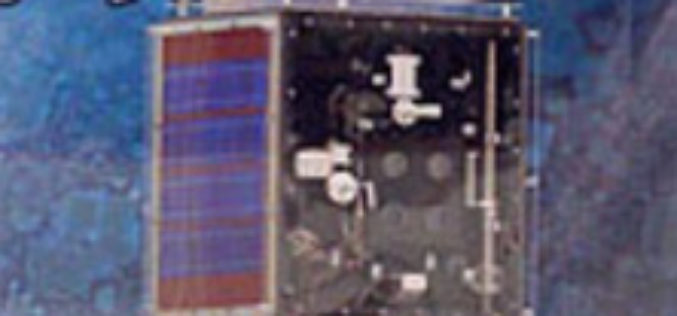
Iran to Launch up to Two Satellites by the End of This Persian Year
According to recent news by the TECHRASA, the Head of Iranian Space Agency had recently announced that Iran would launch up to two satellites by the end of this Persian year.
Agricultural Drone Market Size Anticipated to Achieve Over USD 555 Million at a CAGR of 21% from 2016 to 2023
According to a market research report published by Global Market Insights, the agricultural drones market size was valued over USD 135 million in 2015 and is anticipated to achieve over

Create, Share Geotagged, Media-rich Field Reports With New NGA Mobile App
The National Geospatial-Intelligence Agency’s latest publicly available mobile app is now available on iTunes and Google Play. The Mobile Awareness GEOINT Environment, MAGE, was developed to support first responders deploying

Geospatial Tools to Tackle Public Health in Bangladesh
According to recent news published by the University of Texas at Dallas, Geospatial information sciences (GIS) can help determine where diseases are spreading and where to target the resources needed to

GIS Market in BRIC Nations at a CAGR Of 11.13% Between 2016-2020
According to a report published by Technavio, the use of GIS technology in forest fire management, flood management, and carbon management has made the technology an effective tool in disaster management across
