
GIS

UPRN Release To Support Greater Sharing Of Location Data
Supporting the local government transparency and government open data agendas, Ordnance Survey, GeoPlace and the Improvement Service are enabling AddressBase internal business use customers to release Unique Property Reference Numbers (UPRNs)
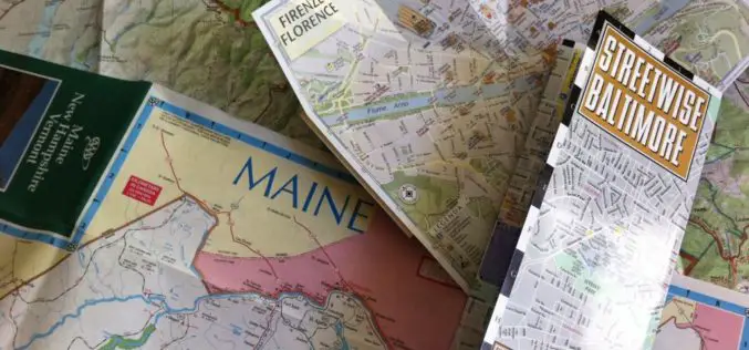
The Paper Map Revolution
In the past ten years Ordnance Survey paper map sales have fallen, in line with the rest of the publishing industry. Yet in 2014, Britain’s mapping agency reversed this trend with

Automatic Disaster Analysis and Mapping System Speed Up Earthquake Aid Response
The Automatic Disaster Analysis and Mapping system (ADAM) pulls information from the U.S. Geological Survey, World Bank and World Food Programme databases, getting aid workers vital facts from earthquake zones
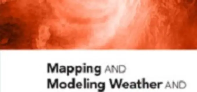
New Book from Esri Shows How GIS Supports Weather, Climate Research
Redlands, California—Weather mapping goes beyond what’s broadcast on the evening news. The new book Mapping and Modeling Weather and Climate with GIS, from Esri Press, describes how geographic information system
New US Topo Maps for Nevada Include Trails
Newly released US Topo maps for Nevada now feature selected trails. The data for the trails is provided to the USGS through a nation-wide “crowdsourcing” project managed by the International Mountain Biking

GIS to Map Schools Infrastructure in Telangana State
As reported by Deccan Chronicle, the government of Telangana is going to freshly map the exact infrastructure of the schools with the Geographic Information System (GIS). The maps will

LizardTech Releases Updated GeoViewer Application for iOS
SEATTLE, Wash. — Feb. 9, 2015 —LizardTech®, a provider of software solutions for managing and distributing geospatial content, has released an update to its free iOS GeoViewer application for viewing
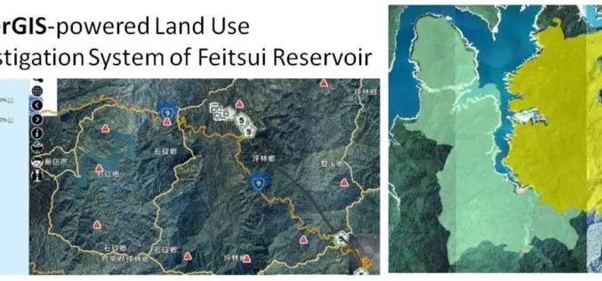
GIS Observation System Supplies Water for Lives
As the main water supply and electricity generator in great Taipei, Feitsui Reservoir is a vital resource in Taiwan. Feitsui Reservoir Administration therefore needs to ensure that water quality, water

Esri Launches New Site to Find Open Data
Search and Discover Authoritative Information from Any ArcGIS Open Data Website Redlands, California—Esri today announced the launch of a new site aimed to help citizens discover organizations sharing open data
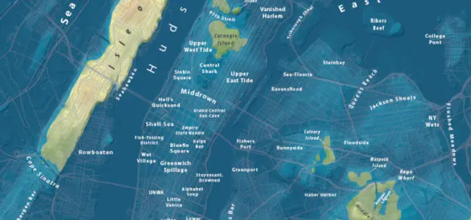
Maps Show What Major World Cities Would Look Like If Global Sea Level Rises
Global climate change has already had observable effects on the environment. Glaciers have shrunk, ice on rivers and lakes is breaking up earlier, plant and animal ranges have shifted and
