
Software
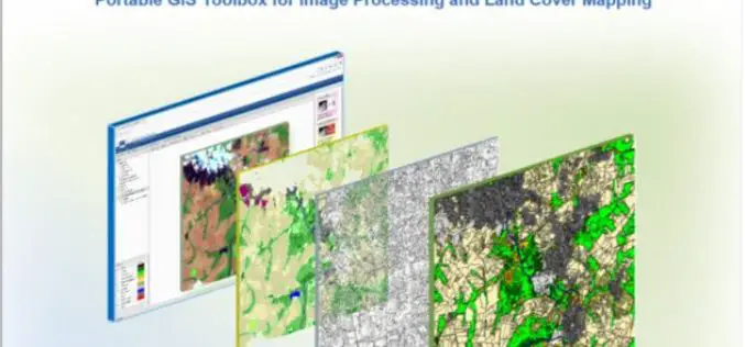
IMPACT: Open-source Software for Image Processing and Land Cover Mapping
The image processing and land cover mapping community can enjoy a new free software developed by the EU Joint Research Centre. The IMPACT tool is a portable browser-based application for
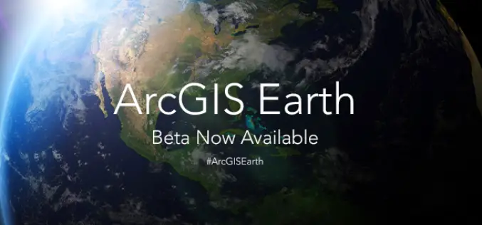
ArcGIS Earth Beta Now Available
Sign up for the beta program for ArcGIS Earth beta to download, Esri’s new 3D app. By participating in the program, you will be among the first to test-drive a prerelease
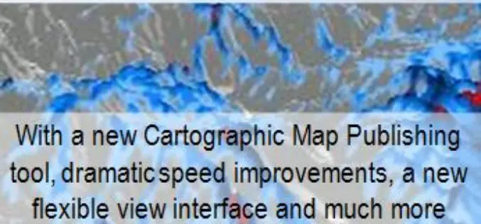
Global Mapper v17 Now With New Multi-View Interface and Enhanced Cartographic Layout Tools
Blue Marble Geographics has announced the release of Global Mapper version 17. This major release offers numerous new and improved geospatial tools, functional upgrades, and performance improvements throughout all areas of

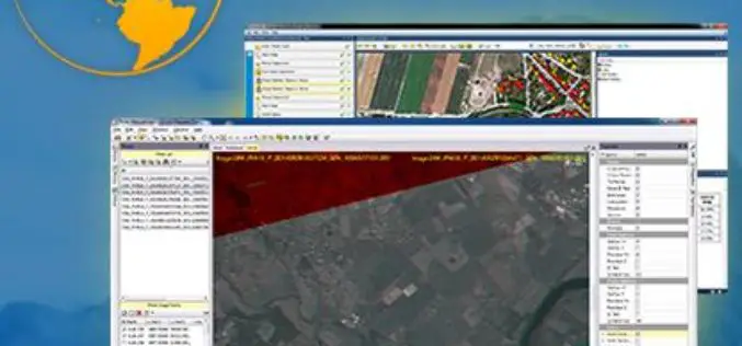
PCI Geomatics Releases Geomatica Developer Edition
PCI Geomatics, a world leading developer of remote sensing and photogrammetric software and systems, announced today that it has released the Geomatica Developer Edition (GDE). GDE puts the power of Geomatica
Trimble Transforms Satellite Data into Intelligence with its New Remote Sensing Suite
Customizable Data and Image Processing Software for Geospatial and Remote Sensing Professionals STUTTGART, Germany, Sept. 15, 2015—Trimble (NASDAQ: TRMB) announced today a new software solution, the Trimble® Remote Sensing Suite.
Hexagon Geospatial Automates Property Change Assessments in ERDAS IMAGINE
Files Patent for New Property Change Assessment Innovation for Growing Base of ERDAS IMAGINE Users Hexagon Geospatial is pleased to announce it has filed a patent for a new, fully
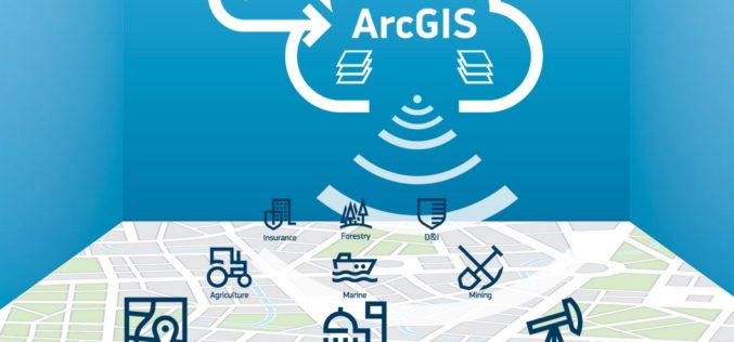
ImageConnect to Add High Resolution Imagery by DigitalGlobe into ArcGIS Desktop Environment
DigitalGlobe in partnership with Esri has come up with a plug-in “ImageConnect” to enhance the GIS experience of ArcGIS platform user. ArcGIS users can download the plugin from ArcGIS Online
LizardTech Launches GeoExpress 9.5
LizardTech, a provider of software solutions for managing and distributing geospatial content, announced the launch of GeoExpress 9.5 at this week’s Esri International User Conference, California. GeoExpress enables geospatial professionals to
Get the Latest version 10.2.6 of the ArcGIS Runtime SDK for .NET
Esri has announced the release of latest version 10.2.6 of the ArcGIS Runtime SDK for .NET. The allows to integrate ArcGIS functionality into Windows apps for desktop and mobile. SDK also

Vienna University of Technology Releases OPALS v 2.1.5 – A Airborne Laser Data Processing Software
The Department of Geodesy and Geoinformation, Vienna University of Technology announces the release of OPALS version 2.1.5. OPALS stands for Orientation and Processing of Airborne Laser Scanning data. It is a
