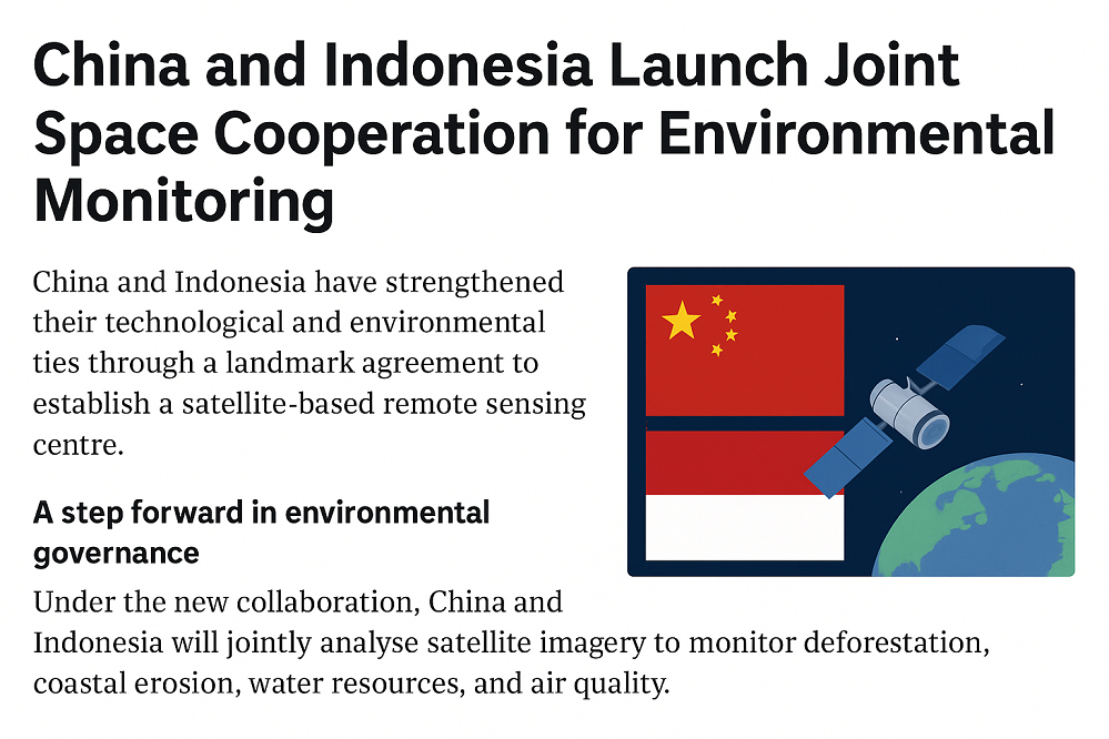
China and Indonesia Launch Joint Space Cooperation for Environmental Monitoring
China and Indonesia have strengthened their technological and environmental ties through a landmark agreement to establish a satellite-based remote sensing centre. The initiative, marking a new phase of China-Indonesia Space Cooperation, aims to improve environmental monitoring, maritime safety, and natural resource management across the region.
The agreement, signed in October 2025, brings together the Chinese Land Satellite Remote Sensing Application Centre and Indonesia’s National Research and Innovation Agency. Both sides have committed to sharing satellite data, advancing research, and enhancing their collective capacity to monitor land, ocean, and atmospheric changes.
A step forward in environmental governance
Under the new collaboration, China and Indonesia will jointly analyse satellite imagery to monitor deforestation, coastal erosion, water resources, and air quality. The centre will also support the tracking of vessel traffic to combat illegal fishing — a growing concern in Indonesia’s vast maritime zones.
According to the Chinese agency, the project aims to promote “resource sharing, complementary advantages, and mutual benefits.” This aligns with China’s broader vision to expand its satellite technology partnerships with Southeast Asian nations, first outlined in 2021. The new centre will also help Indonesia strengthen its technical base and reduce dependence on foreign data providers for environmental assessments.
Strengthening regional ties
Experts view this development as a strategic move to deepen China-Indonesia Space Cooperation, combining China’s advanced satellite capabilities with Indonesia’s local environmental expertise. The partnership highlights a shift toward greater regional collaboration in space technology, particularly in addressing climate-related challenges.
While specific details about the centre’s location and operational timeline remain undisclosed, officials confirmed that implementation will begin with pilot projects focused on forestry and marine resource mapping. These activities are expected to enhance both countries’ preparedness for natural disasters, including floods, forest fires, and ocean pollution.
Building a sustainable model
Beyond immediate environmental benefits, the collaboration represents a model for other Southeast Asian nations seeking to apply satellite technology for ecological stewardship. Analysts note that China-Indonesia Space Cooperation could serve as a blueprint for future regional initiatives under global sustainability frameworks.
Conclusion
By leveraging satellite-based observation, the new centre underscores how strategic cooperation in space can directly contribute to Earth’s environmental protection. As the China-Indonesia Space Cooperation progresses, its success will depend on sustained technical exchange, transparency, and shared commitment to preserving the planet’s natural systems.
Source: SCMP