TEHRAN, Oct. 02 (MNA) – ICT minister Mahmoud Vaezi said the final agreement for the construction and launch of the National Remote Sensing Satellite has been signed by the Russian satellite manufacturers.
Iranian Communications and Information Technology Minister, Mahmoud Vaezi, told Mehr News Agency that the country is working on its space projects on two parallel lines, one of which is related to the construction of student satellites inside the country; “we have held talks with universities for the construction of communications as well as remote sensing satellites in Iran, and a number of samples have already been constructed,” he said.
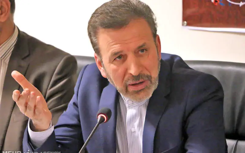
ICT minister Mahmoud Vaezi.
Credit: Mehr News Agency
“By the end of the Iranian year (March 2017), we will be ready to launch one of these domestically-manufactured student satellites into space,” he added.
Vaezi stressed that the country is mainly focused on the construction of two operational satellites, adding “at the moment, the final agreement for the construction and launch of the National Remote Sensing Satellite has been signed by the Russian satellite manufacturers.”
“The construction of the two operational satellites is a long-term project and currently, we are in talks with four countries for our communications satellite,” he said.
“France, Russia, China and South Korea have expressed their interest in participating in the project,” Vaezi said. “We will come to a final decision with one of these four countries and execute the construction of National Communications Satellite Project as one of the objectives of the Sixth Development Plan.”
In his recent visit to Moscow, Mahmoud Vaezi met with several Russian government officials and industry executives on space and cyberspace issues, and struck a deal with the Russian side on cooperation with the construction of a remote sensing satellite.