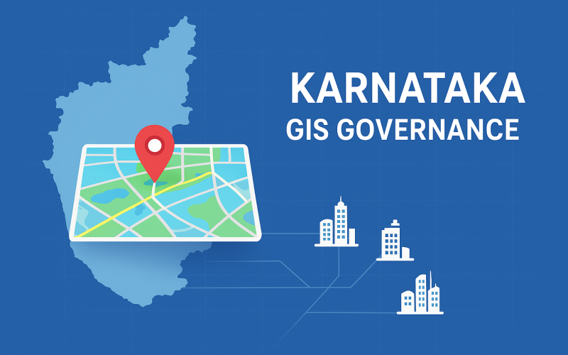
The Karnataka government has rolled out a comprehensive GIS-driven governance model aimed at enhancing transparency, efficiency and scientific planning across the state. The initiative is anchored in a report titled “Success Stories in Governance through Geographical Information System (GIS) – Karnataka’s Experience”.
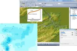
The nodal agency behind this initiative is the Karnataka State Remote Sensing Applications Centre (KSRSAC), established in 1986 under the Department of e-Governance, which has pioneered the integration of geospatial technology into state processes. The state’s platform, known as K‑GIS (Karnataka Geographic Information System), functions as a central repository of spatial data and location-based information for government departments and citizens alike.
Under this GIS-driven governance approach, land and property management tools such as the Dishank mobile application allow citizens to directly view land details including survey numbers and RTC (Record of Rights). Further, applications like e-Khata and e-Swathu modernise land records and make them accessible and transparent.
Also Read – What is K-GIS 2.0 – Karnataka’s Next-Gen Geo-Spatial Database
In the rural development domain, the New Gandhi Saakshi Kayaka (NGSK) app uses geofencing and integrates with the state treasury system to monitor rural road works and payments in real time. Meanwhile, agriculture and environment sectors benefit through tools such as the Soil Sample Collector app—linking sample collection with the FRUITS portal—and the Forest Fire Alert System and Tree Census apps that boost resource-management and monitoring.
In the urban context, GIS analyses are used to assess water-permeability zones within the municipal limits of Bruhat Bengaluru Mahanagara Palike (BBMP) and convert abandoned quarries into recharge zones for groundwater. The government states that by using the K-GIS platform, it has “built a transparent, efficient and scientific governance framework” by embedding geospatial technology into every stage from planning to decision-making.
This model of GIS-driven governance is significant because it reflects a shift from siloed departmental workflows to integrated spatial planning and citizen-centric services. Experts note that the K-GIS initiative places the state among the front-runners in geospatial governance in India.
As the Karnataka government moves ahead, the benefits of this model are expected to expand: faster project monitoring, better targeting of resources, clearer land-records transparency, and stronger engagement with citizens. The state’s experience offers a template for others to consider as geospatial technologies become mainstream in governance.
Sources: NewsDrum, PTI, Udyavani