Regional Seminar on Geospatial Technology in Natural Resource Management at PRSC
Regional Seminar on Geospatial Technology in Natural Resource Management
17-18 March, 2015,
Punjab Remote Sensing Centre, Punjab, India
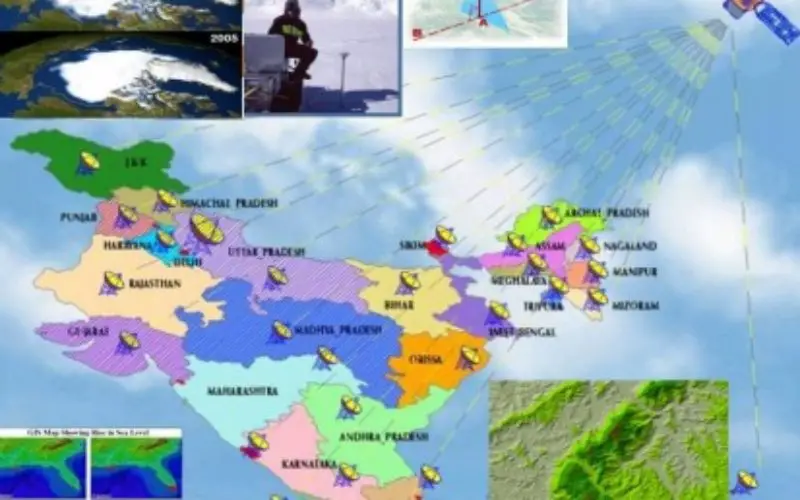
 The maiden attempt of India in reaching Mars has ranked our nation in the world as one of the pioneering space exploring nations. In the area of Earth Observation, the Indian Remote Sensing (IRS) satellite system is the world’s largest constellation of satellites in operation. Remote Sensing satellites are an integral part of geospatial technology (Remote sensing, Global Positioning Systems (GPS) and Geographical Information Systems (GIS), photogrammetry, cartography, mapping and information technology etc.) which is used in the Indian sectors like agriculture, environmental management, forestry, urban planning, public safety, infrastructure, telecommunications and logistics etc. The traditional way of getting information about natural resources are labour intensive and time-consuming. The technological advances in the field of satellite remote sensing, computerized mapping techniques, GPS and GIS enhanced our ability to capture spatial and temporal information about natural resources. Despite several benefits of the technology, India’s capacity to use geospatial technology is relatively weak. Much of the efforts at building capacity in this area have been single-layered and single-targeted projects. If we as a nation are to achieve greater understanding in protecting our resources, and reduce the chaos and loss of life associated with manmade and natural disasters, we will need an efficient, responsive, generalized and well coordinated system embedded with geospatial technology which can be used by common people.
The main objective of this seminar is to disseminate knowledge and to share expertise and experiences in geospatial sciences on all aspects of natural resource management. This would be a regional seminar mainly for the participants (students/researchers) from Punjab, Rajasthan, Haryana, Chandigarh, Himachal Pradesh, Uttarakhand and, Jammu & Kashmir. However, participants are welcome from any part of the country. The eminent scientists from premier Remote Sensing Institutes like Indian Institute of Remote Sensing, Dehradun; Space Application Centre, Ahmedabad and National Remote Sensing Centre, Hyderabad will be invited for key note lectures covering various aspects of natural resource management.
Themes:
- Agriculture, Soil and Water Resource Management
- Climate Change and Environmental Sciences
- Land Use, Ecosystems and Forestry
- Geosciences, Natural Disaster and Hazard
- Geospatial Planning and Management (including wetland, computer &IT applications, public utility & facility, health, rural and urban planning etc.)
Abstract Guidelines:
- The abstracts should be between 300 and 350 words, should be typed in double space leaving 2.54 cm margin on all sides on A-4 paper. Three to five keywords should be given below the abstract in italics. The font should be Calibri in 12 pt. size. The abstract should be sent through email isrsludhiana@gmail.com in MS word format.
- A Committee will review the abstracts and decide about the nature of presentation (oral/poster). Author(s) will be intimated regarding the acceptance of papers.
- Awards will be given for the best poster presentation.
Important Deadlines:
- Last Date of Abstract Submission – 25 January, 2015
- Last date of Registration – 15 February, 2015
Please visit http://prsc.gov.in/Download.aspx or http://prscldh.blogspot.in/ for more information and regular updates.


