
Tag "3D mapping"
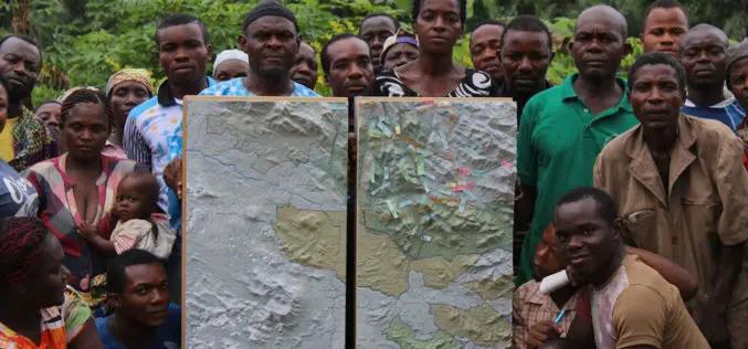
Cameroon’s First Participatory 3D Mapping for Forest Monitoring and Conservation Management
A three-dimensional model of part of the Cameroon Highlands will be unveiled on Monday 30 May in an official ceremony at the Southwest Regional Delegation of Forestry and Wildlife (MINFOF).
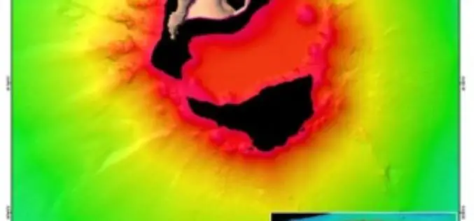
Scientists Explore Earth’s Newest Land Using Advanced, High-Resolution 3D Mapping
SUVA, FIJI – Research vessel (R/V) Falkor will return to port today after 28 days at sea conducting pioneering studies including mapping the Earth’s newest island landscape in the Kingdom
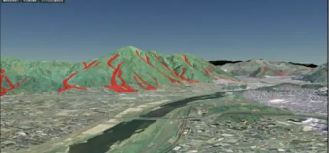
Geospatial Information Authority of Japan Released a Free Online 3D Mapping Service
A national surveying institute has released a free online 3D mapping service that could help increase natural disaster preparedness by showing accurate renditions and contours of landforms. Created by the
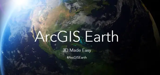
Esri Unveils ArcGIS Earth to the World
Free Interactive 3D Globe Allows Everyone to Visualize, Explore, and Understand Spatial Data Esri, the world leader in mapping technology, has launched ArcGIS Earth, a free, desktop-based interactive globe that

HERE to Explore Use of Big Data
The consortium of carmakers consisting of Audi, BMW and Daimler that owns digital map maker HERE said on Monday it would explore the use of big data to improve the
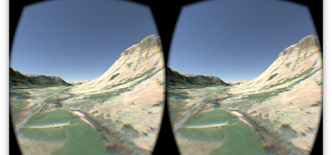
OS Data Gives Reality to a Virtual World
OS follows up its Minecraft map success to make a virtual Ben Nevis for Oculus and cardboard. The spectacular setting of Ben Nevis provides the backdrop for an Oculus Rift
3D Modeling & Mapping Market to Grow at 55% CAGR to 2020
The YoY 3D mapping market growth rates will be on higher side throughout the forecast period with 3D mapping and 3D modeling industry set to get push from media and

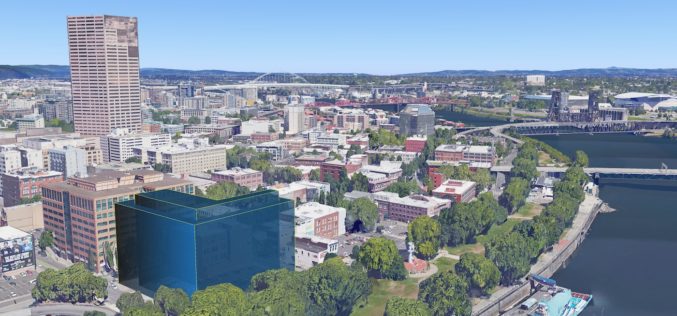
Singapore goes for 3D mapping to Improve Municipal Services
The authorities of Singapore are hopeful to create a 3D map of Singapore within the next two years. The 3D mapping efforts are part of project to use technology in
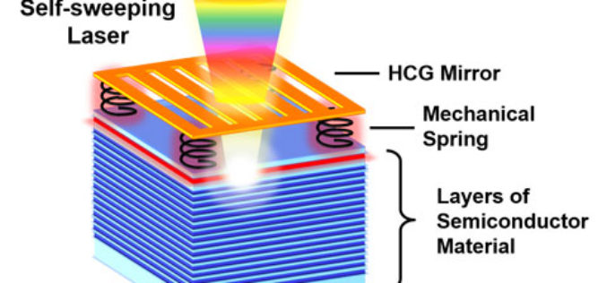
Self-Sweeping LiDAR Could Dramatically Shrink 3D Mapping Systems
A team of UC Berkeley engineers led by Connie Chang-Hasnain, a professor of electrical engineering and computer sciences, used a novel concept to automate the way a light source changes
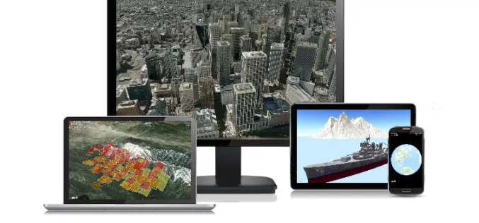
Get the Latest version 10.2.6 of the ArcGIS Runtime SDK for .NET
Esri has announced the release of latest version 10.2.6 of the ArcGIS Runtime SDK for .NET. The allows to integrate ArcGIS functionality into Windows apps for desktop and mobile. SDK also
