
Tag "3D mapping"
New 3D Mapping Technology for Smart City Development
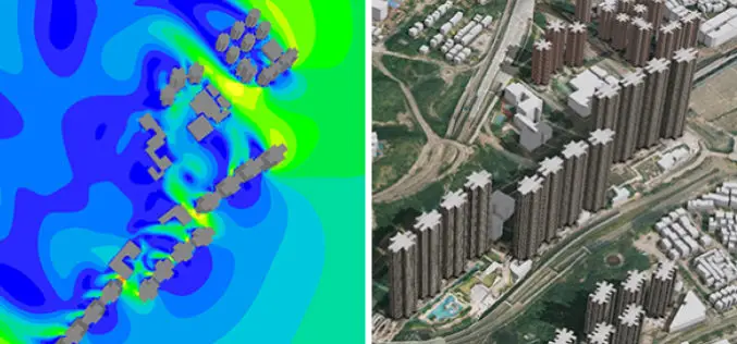
The two most commonly used 3D mapping techniques are photogrammetry using satellite or aerial imagery, and laser scanning. The former offers greater accuracy in the horizontal direction and the latter

Illinois Wesleyan University Selects Geospatial Corporation’s GeoUnderground and GIS-Centric Smart-Asset Management Technologies
GeoUnderground Deployed to Improve Infrastructure Capital and Business Planning Pittsburgh Pennsylvania – December 19, 2016– Geospatial Corporation (OTCQB Symbol “GSPH”), a leading innovator of asset management/analytics/mapping software and 3D mapping

Velodyne LiDAR Announces Breakthrough Design for Miniaturized, Low-Cost Solid-State LiDAR Sensors
Application of integrated circuitry leads to a new approach to LiDAR sensors for the autonomous vehicle, 3D mapping, and drone industries MORGAN HILL, Calif.–(BUSINESS WIRE)–Velodyne LiDAR Inc., the recognized global
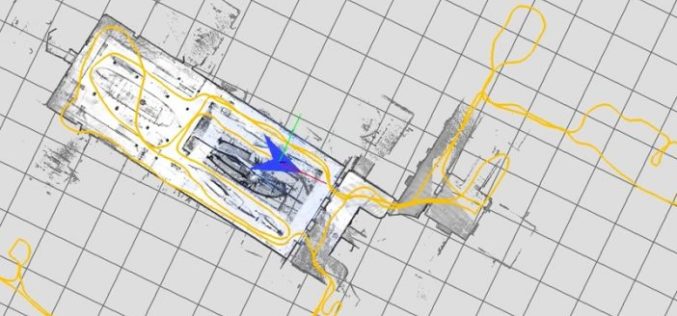
Google Releases LiDAR SLAM Algorithms, an Open Source Cartographer Mapping Solution
Google has released open-sourced Cartographer, a real-time simultaneous localization and mapping (SLAM) library in 2D and 3D with ROS (Robot Operating System) support. This technology which works with the open

Esri Webinar: Transform Conservation with Drone2Map for ArcGIS
Conservationists are being called on to do more with less. In the face of climate change, widespread pollution, and urbanization, conservation has become paramount to the health and well-being of

Gwalia Surveyors Introduces New 3D BIM Utility Mapping Technology
London, UK – July 26, 2016 /– Gwalia Surveyors, a multi-disciplinary survey consultancy committed to providing detailed survey data for their clients, has recently introduced new 3D Building Information Mapping (BIM)

IARPA Announces the Multi-View Stereo 3D Mapping Challenge
Washington, D.C. – As reported in a recent press release by the Ofice of the Director of National Intelligence, the Intelligence Advanced Research Projects Activity (IARPA), within the Office of
Geospatial Corporation Announces New Quality Assurance (“QA”) and Installed Locational Integrity Management (“ILIM”) Programs for Underground Pipelines
PITTSBURGH, June 29, 2016 – (OTCQB symbol “GSPH”). Geospatial Corporation provides complete Quality Assurance (“QA”) programs and Installed Locational Integrity Management (“ILIM”) programs for underground pipelines and conduits installed via
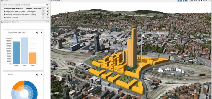
Build Smart 3D Cities in Minutes with Game-Changing Esri CityEngine 2016
Redlands, California—Esri, the global leader in geographic information system (GIS) solutions, today announced the release of Esri CityEngine 2016. This revolutionary modeling technology allows GIS professionals, 3D artists, architects, and
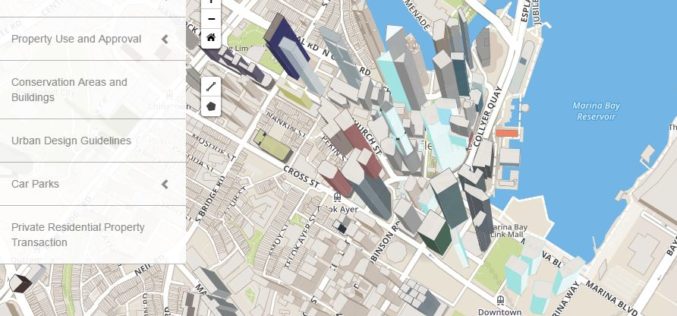
Singapore: Urban Redevelopment Authority Launches Online Portal for Information on Land Matters
Recently, the Urban Redevelopment Authority (URA) has revamped its online map services with new and enhanced features to make information more easily accessible and online transactions effortless. The new portal,
