
Tag "DEM"
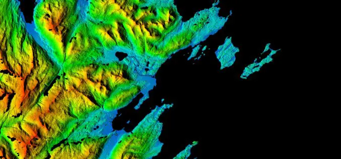
NGA, NSF release 3-D Elevation Models of Alaska for White House Arctic Initiative
SPRINGFIELD, Va. — The National Geospatial-Intelligence Agency and the National Science Foundation publicly released new 3-D topographic maps of Alaska Sept. 1 in support of a White House Arctic initiative

East View Geospatial Introduces New Image Analysis Services
Minneapolis, Minn. – August 25, 2016 – East View Geospatial is pleased to announce the launch of new image analysis services designed to complement the company’s ever-expanding sources of satellite data

PCI Geomatics Webinar: Digital Elevation Models and Operational Mining Applications
Digital Elevation Models and Operational Mining Applications Case Study with NPA Satellite Mapping JUNE 29, 2016 | 10AM ET / 2PM GMT PCI Geomatics and CGG’s NPA Satellite Mapping team will
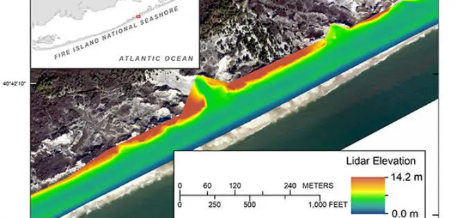
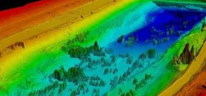
Terrestrial-based Lidar Beach Topography of Fire Island, New York
Abstract: The U.S. Geological Survey (USGS) St. Petersburg Coastal and Marine Science Center (SPCMSC) in Florida and the USGS Lower Mississippi-Gulf Water Science Center (LMG WSC) in Montgomery, Alabama, collaborated to
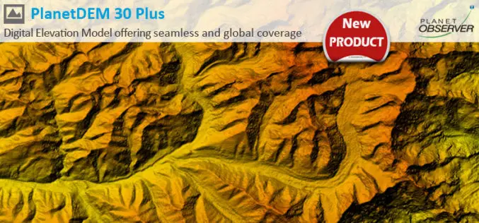
PlanetDEM 30 Plus: The New Global Digital Elevation Model at 30-Meter Resolution Offering Seamless, Reliable and Accurate Data
PlanetObserver, specialist of geospatial data production for more than 25 years, announced today the release of PlanetDEM 30 Plus global elevation model. PlanetDEM 30 Plus is the new Digital Elevation
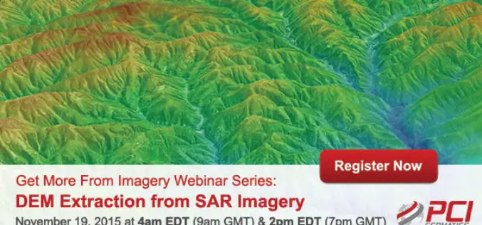
Webinar Series: DEM Extraction from SAR Imagery
Get More From Imagery Webinar Series: DEM Extraction from SAR Imagery Nov. 19, 2015 at 4am EDT (9am GMT) | Nov. 19, 2015 at 2pm EDT (7pm GMT) PCI Geomatics is the
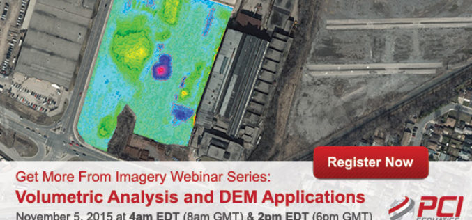
Volumetric Analysis and DEM Applications Using PCI Geomatica
Volumetric Analysis and DEM Applications Nov. 5, 2015 at 4am EDT (8am GMT); Nov. 5, 2015 at 2pm EDT (6pm GMT) PCI Geomatics is the developer of Geomatica- a complete and

Make Better Geospatial Decisions with Accurate Elevation Data
ENVI Webinar: Make Better Geospatial Decisions with Accurate Elevation Data November 5, 2015; 3:30 PM Berlin (GMT +2); 1PM New York (GMT -4) Precise elevation data is the initial foundation of any accurate geospatial
Telangana Government to Take Up LiDAR Survey of Barrages and Canals
As reported in The New Indian Express, the Telangana Government is all set to start the LiDAR survey of the altered Pranahita – Chevella project from August 18. The state government
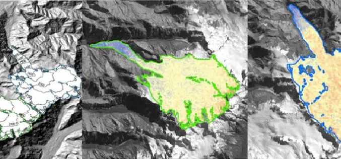
Modeling Glacier Elevation Change from Time Series DEM
Glaciers are always having an important impact on environment. Changing climate conditions have put a lot of pressure on our glaciers. Melting of glaciers could be very dangerous for life
