
Tag "Drone"

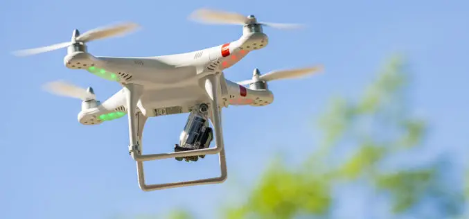
Esri Releases Drone2Map for ArcGIS
App Turns Still Imagery Captured by Drones into 2D and 3D Products Redlands, California—Drone2Map for ArcGIS, released today by Esri, turns raw still imagery from drones into professional 2D and
Guidelines for Civilian Use of Drones on Anvil
New Delhi – India: There are “serious issues” with drone operations and the government is in the process of drafting guidelines for its civilian use. As part of this process,
Drone Mapping in Gurgaon to Create Administrative Tools
According to recent news by The Economic Times, drones was used to complete a minute drone aerial mapping exercise of Sohna town, Gurgaon (near NCR), to create new age administrative

GAIL to Use Drones, Satellite Mapping To Monitor Pipeline Network
GAIL (India) Ltd has decided to use drones and satellite imagery to map and monitor its pipeline network while expanding its Sahyogi (partner) scheme to detect/prevent encroachment and terror attack
A Drone with a Sense of Building Its Own Maps
MIT Technology Review – Researchers from the Swiss Federal Institute of Technology in Zurich are making drones more independent with a sense of building its own direction. They have demonstrated
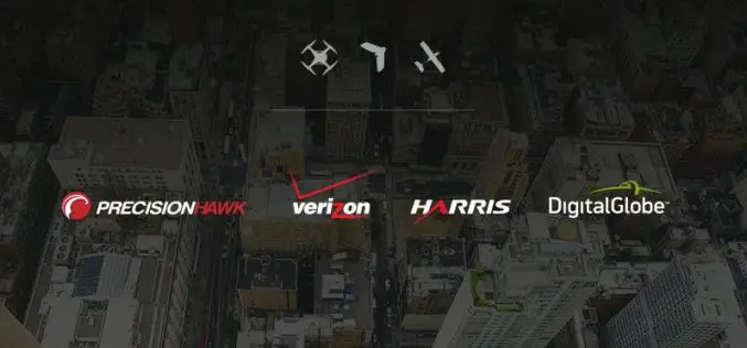
PrecisionHawk, Verizon, Harris and DigitalGlobe Jointly Demonstrate Technology for Safe Drone Operations
Industry leaders in cellular, aircraft surveillance, satellite imagery and drones bring together the best technology solutions to enhance safety as airspace congestion increases. PrecisionHawk, Verizon (NYSE, Nasdaq: VZ), Harris (NYSE:HRS)

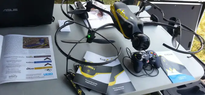
Drone Connector Now Features Over 700 Professional Drone Operators in Over 90 Countries
senseFly’s global service network, Drone Connector, now features over 700 professional drone operators, which it connects with organisations that require their help to produce geo-referenced imagery and data products. Created
Mapping Australia’s Dinosaurs Landscape Using LiDAR and Drones
According to recent news by BBC, Scientists are trying to reconstruct ancient Australian landscapes once roamed by some of the biggest dinosaurs. The 130-million-year-old footprints are virtually the only record of
UAV-g 2015 International Conference: Thrilling Success
UAV-g 2015 International Conference, York University, Toronto, Aug 30-Sep 2, 2015 The UAV-g 2015 International Conference of Unmanned Aerial Vehicles in Geomatics with the theme Small Unmanned Aerial Systems (sUAS):
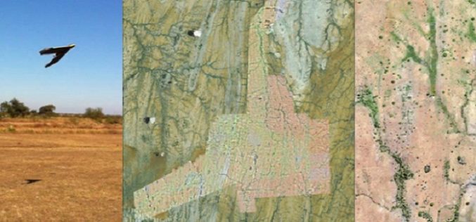
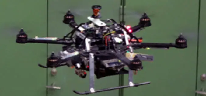
A Case Study: Using Drones in Place of LiDAR
Energizer Resources Inc., has started a major flagship project, a large graphite mining project at coast of East Africa, in Madagascar. it is named the Molo Graphite Project, or simply
