
Tag "ESRi"
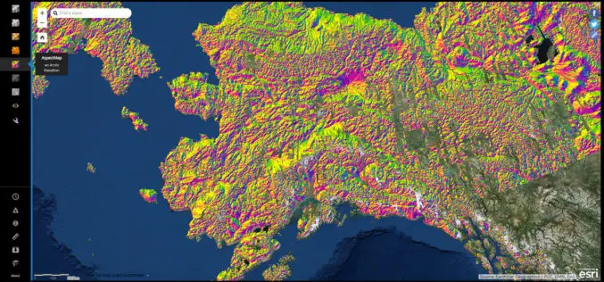
NGA Releases Biggest Collection of Arctic Elevation Data Yet at Esri FedGIS Conference
ArcticDEM Provides High-Quality Elevation Data and Enables Communities to Take Action Redlands, California—Esri, the global leader in spatial analytics, together with the ArcticDEM project—a public-private initiative to produce high-resolution, high-quality
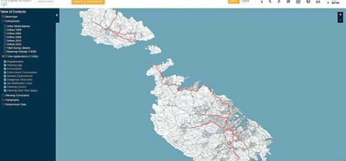
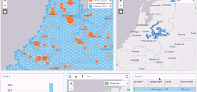
Planning Authority of Malta Launch New Online Mapping System
According to recent news by the Times of Malta, the Planning Authority has launched an online geographic information system (GIS), that would allow the public to access data in a faster
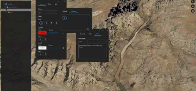
Download for Free – Esri Release ArcGIS Earth 1.4
Recently Esri 3D team has announced the release of ArcGIS Earth 1.4. ArcGIS Earth 1.4 introduces great new features that will enhance workflows for visualizing data, accessing portals, and sharing across
Esri Releases Advanced Analytics to Increase Retail Sales
Indoor Spatial Analysis of Consumer Behaviors Boosts Profits and Increases Customer Satisfaction January 17, 2017 – Redlands, California—Esri, the global leader in spatial analytics technology, today announced a partnership with GISinc
Esri Shares a Vision for the Connected Car at CES 2017
Experience the Future of Connected Driving at CES with Microsoft, Esri, NXP, IAV, Cubic Telecom, and Swiss Re Redlands, California—Esri, the global leader in spatial analytics technology, announced its participation

Bracknell Forest Homes Drives More Benefits From GIS
Bracknell Forest Homes is using a GIS for digital transformation and to create new streamlined processes. The GIS helps the business from reducing under-occupancy rates to helping find new development opportunities, and it now
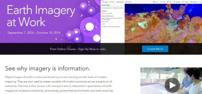
Register Now For Esri MOOC Program: Earth Imagery at Work
Earth Imagery at Work February 1, 2017 – March 14, 2017 Digital images of earth’s surface produced by remote sensing are the basis of modern mapping. They are also used to
Esri ArcGIS 10.5 Release Transforms Spatial Analytics
Esri has released Esri ArcGIS 10.5 on December 19, the next-generation analytics technology includes the latest release of Esri’s enterprise GIS and unlocks the full potential of your data. Esri
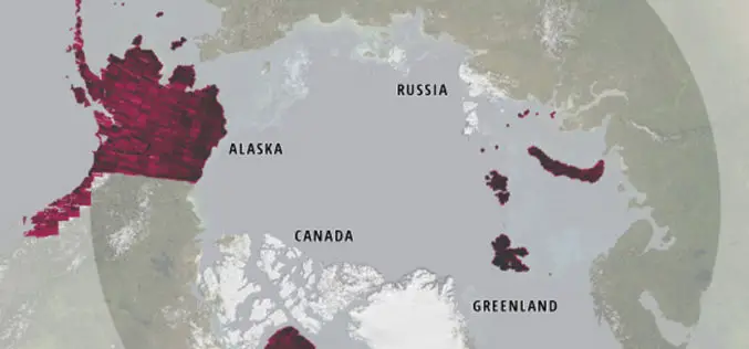
Esri Releases New Arctic Elevation Data
ArcticDEM Provides New Insight into Effects of Climate Change and Enables Communities to Take Early Action Redlands, California—Global smart-mapping leader Esri and the ArcticDEM project, a public-private initiative to produce
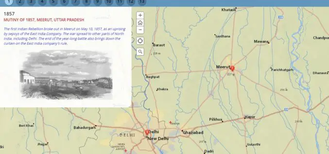
Milestone of Indian Freedom Movements Through Esri Story Map
Contributed By:- The Indian national movement for freedom was undoubtedly one of the biggest mass movements modern society. The movement involved many political and social organizations and armed and unarmed struggle.
