
Tag "Geomatics"
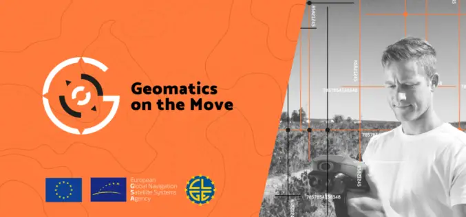
Geomatics on the Move – A Challenge for Innovators Across the EU
The European GNSS Agency (GSA), the operating agency of the European Commission for Galileo and EGNOS has launched Geomatics on the Move (#GeomaticsOnTheMove) challenge for innovators across the European Union.
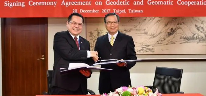
Taiwan and Indonesia Signed Pact on Cooperation in Geodesy and Geomatics
According to recent news reported by the Taiwan News, Taiwan and Indonesia have signed a pact on Dec. 20 to foster cooperation in geodesy and geomatics, the scientific fields concerned with
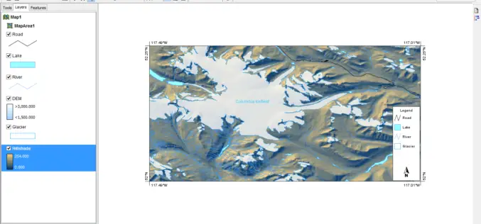
University of Guelph: Prof. John Lindsay Develops Whitebox Geospatial Analysis Tools for Processing Geospatial Data
Professor John Lindsay has developed a one-of-a-kind software package called Whitebox Geospatial Analysis Tools for processing geospatial data that he says has put the University of Guelph on the map
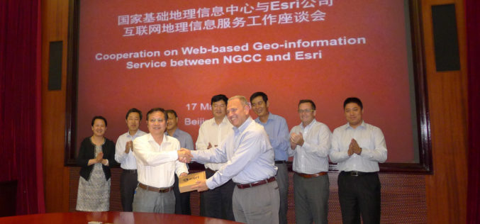
NGCC and Esri Provide Access to Authoritative Chinese Cartographic Maps and Imagery
Redlands, California—The world’s leading mapping platform company, Esri, and the National Geomatics Center of China (NGCC) held a signing ceremony in Beijing, China with respect to providing access to NGCC’s

PhD Position: Methodological, Algorithm and Processing Chain Development for Analysis of Hyperspectral Image Data
The institute section “Land Surface” deals with the development of remote sensing methods based on various earth observation systems that are specifically adapted for the respective application scenarios. Key issues
UAV-g 2015 International Conference: Thrilling Success
UAV-g 2015 International Conference, York University, Toronto, Aug 30-Sep 2, 2015 The UAV-g 2015 International Conference of Unmanned Aerial Vehicles in Geomatics with the theme Small Unmanned Aerial Systems (sUAS):

GIM International Announces New Event: GIM International Summit
GIM International, the global print and media platform for geomatics, is excited to announce the inaugural GIM International Summit which it will be organising from 10-12 February 2016 in Amsterdam,

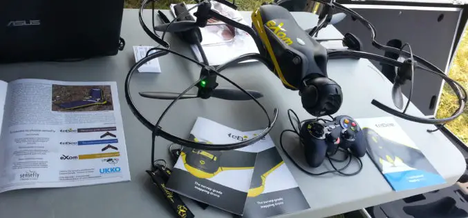
The 5most viewed UAVs for Mapping and 3D Modelling on Geo-matching.com
The Geo-matching.com website features a selection of the most important geomatics equipment, including UAS for Mapping and 3D Modelling. At www.geo-matching.com you can compare product specifications and read users’ reviews
