
Tag "GIS"
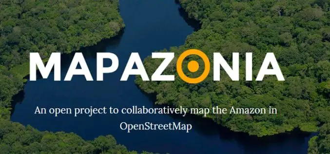
MAPAZONIA – A Crowdsourced Project to Map the Amazon
The Amazon rainforest also known in English as Amazonia or the Amazon Jungle covers most of the Amazon Basin of South America. This region includes territory belonging to nine countries: Brazil, Bolivia, peru, Ecuadoe, Colombia, Venezuela, Guyana, and
Penn State University Offering Course on Maps and the Geospatial Revolution
Learn how advances in geospatial technology and analytical methods have changed how we do everything, and discover how to make maps and analyze geographic patterns using the latest tools. Penn
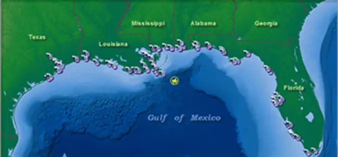
NOAA’s Online Mapping Tool ERMA Opens up Data to the Public
NOAA’s Environmental Response Management Application (ERMA) is a web-based mapping application that pulls in and displays both static and real-time data, such as ship locations, weather, and ocean currents. ERMA enables

RMIT University is Offering Doctorate, Master and Diploma Courses in Geospatial Science
RMIT is a global university of technology and design. Founded in 1887, it is now the nation’s largest tertiary institution, with 74,000 students. RMIT has three Melbourne campuses, two campuses
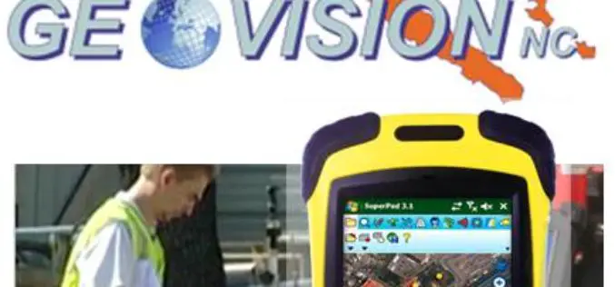
GEOVISION Utilizes SuperGIS for Maritime and Land GIS Planning
Supergeo Technologies Inc., the leading GIS software and solution provider, announces that GEOVISION, Nouvelle-Calédonie, selects cross-platform SuperGIS series products, SuperGIS Desktop, SuperSurv and SuperVeyor, to elevate its maritime and land

Webinar: ArcGIS 10.3 – What’s New?
Esri India Webinar: ArcGIS 10.3 – What’s New? 24th March 2015, 11:00 AM IST onwards ArcGIS 10.3 is a major release that will help you discover, make, use, and share
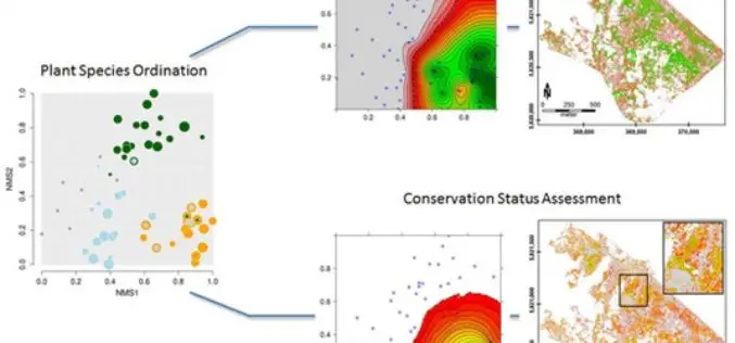
Gradient-Based Assessment of Habitat Quality for Spectral Ecosystem Monitoring
Gradient-Based Assessment of Habitat Quality for Spectral Ecosystem Monitoring – Carsten Neumann , Gabriele Weiss, Sebastian Schmidtlein, Sibylle Itzerott, Angela Lausch, Daniel Doktor, and Maximilian Brell Abstract: The monitoring of ecosystems alterations has become a crucial
Climate Change Vulnerability Index System
To handle climate changes and reduce the loss of lives and properties, Taiwan government establishes a SuperGIS-powered platform, to provide latest information to support decision making. To address climate changes
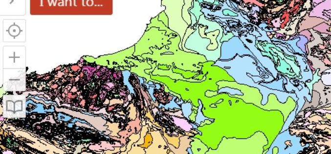
WA Geology – A Geology Mapping App for Mobile Devices
The Government of Western Australia has launched a mobile app for geology mapping. The mobile app WA Geology – is a web-mapping application that requires use of a wide variety

SuperGIS Webinar Boost Your Field Productivity & Accuracy with SuperGIS Mobile Solutions
SuperGIS Webinar Boost Your Field Productivity & Accuracy with SuperGIS Mobile Solutions 25th March, 09:00 AM – 09:40 AM (Greenwich Time) Your Local Time (http://goo.gl/HFKLbB) Having rugged mobile devices for multiple field
