
Tag "GIS"
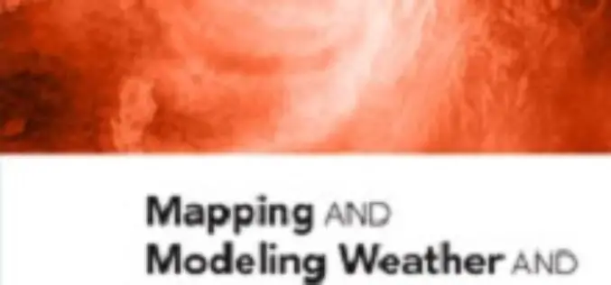
New Book from Esri Shows How GIS Supports Weather, Climate Research
Redlands, California—Weather mapping goes beyond what’s broadcast on the evening news. The new book Mapping and Modeling Weather and Climate with GIS, from Esri Press, describes how geographic information system

Cartoview Enterprise GeoSpatial Application Platform Release
Cartoview is an open source web framework for managing and deploying geospatial and business Applications, the architecture of Cartoview makes it easy to efficiently develop and maintain and deploy GIS

GIS to Map Schools Infrastructure in Telangana State
As reported by Deccan Chronicle, the government of Telangana is going to freshly map the exact infrastructure of the schools with the Geographic Information System (GIS). The maps will
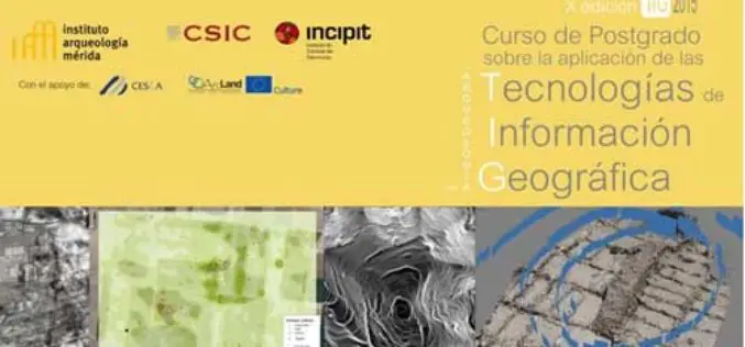
Specialization course in Geospatial Technologies for Archaeology
The ArcLand partner Incipit – Instituto de Ciencias del Patrimonio (Institute of Heritage Sciences, Spain), in collaboration with the Mérida Institute of Archaeology, announces the launching of a new edition of
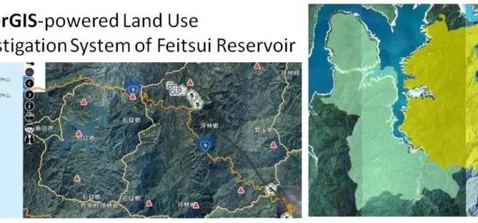
GIS Observation System Supplies Water for Lives
As the main water supply and electricity generator in great Taipei, Feitsui Reservoir is a vital resource in Taiwan. Feitsui Reservoir Administration therefore needs to ensure that water quality, water

Esri Launches New Site to Find Open Data
Search and Discover Authoritative Information from Any ArcGIS Open Data Website Redlands, California—Esri today announced the launch of a new site aimed to help citizens discover organizations sharing open data

Utilities and Customers Benefit from Intergraph Outage Notifications
Solution generates automated notifications improving customer outage experience HUNTSVILLE, Ala., Feb. 4, 2015 – Intergraph® will help utilities improve customer service during electricity outages with the release of Intergraph Outage
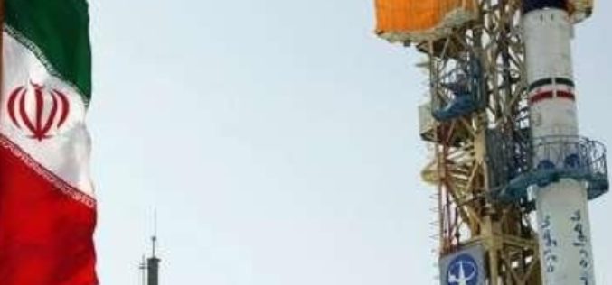
Iran Launches Indigenously Build Fajr Satellite
In recent news by Azernews, Iran has successfully launched its indigenously build Fajr, the fourth satellite into orbit by Safir-e-Fajr launch vehicle. The satellite is different than the previous
Learn What You Can Do with ArcGIS Spatial Analysis
Go Places with Spatial Analysis Free Online Course – Learn What Spatial Analysis Can Do for You This Massive Open Online Course (MOOC) is for people who know

Wow ! Google Earth Pro Is Now Free
Recently Google has announced that Google Earth Pro is now available for free. Google Earth Pro is geospatial software that has all the easy-to-use features and detailed imagery of Google Earth, along with
