
Tag "GNSS"

Leica Geosystems Smart Antenna Provides Superior Performance
Static, long term projects requiring a high number of sensors now have a new affordable smart antenna. This same device can also enable dynamic monitoring with up to 10 Hz data
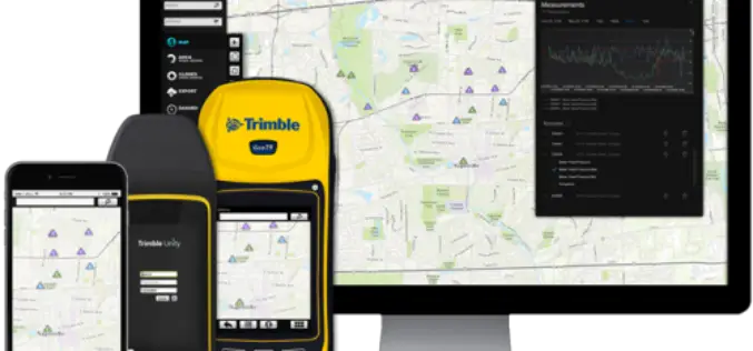
Trimble Launches New Version of its Smart Water Management Software to Streamline Utility Field Operations
Trimble Unity 3.0 Adds New Features to Ease Deployment and Connect Mobile Workers to Maps and Data SUNNYVALE, Calif., April 5, 2016—Trimble (NASDAQ: TRMB) announced today the latest version of
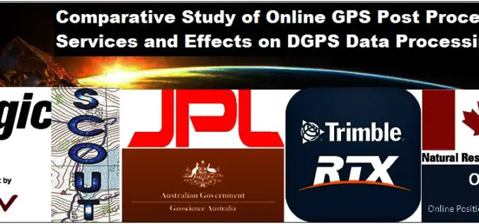
Comparative Study of Online GPS Post Processing Services and Effects on DGPS Data Processing
Comparative Study of Online GPS Post Processing Services and Effects on DGPS Data Processing – Manas Kumar Jha, Saurabh Singh, Nisha Upadhyay, Nishant Khare Increasing dependency on Differential Global Positioning

Tap Into-High Accuracy GPS Data Collection
TerraGo and CHC Webinar: Tap Into High-Accuracy GPS Data Collection Date: January 26 at 11 AM CHC and TerraGo are revolutionizing the GPS data collection market by integrating CHC’s line of
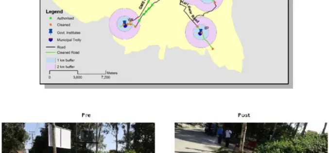
ISRO Utilizes Geospatial Technology for Swachh Bharat Abhiyaan
A novel initiative to contribute in the Swachh Bharat Abhiyaan using the Geospatial Technology (GST) was taken up jointly by the central Government institutions in Dehradun. This initiative was supported
An Integrated Workflow for Cadastre Mapping
Disputing ownership of real estate often occurs in a country with long history. Before the modernization, people usually just roughly point out their properties by obvious and immovable landscapes, such

Seminar on Geodesy, Navigation and Positioning
Aalto University is a new university with over a century of experience. Created from a high-profile merger between three leading universities in Finland – the Helsinki School of Economics, Helsinki

Trimble Introduces Next Generation Indoor Mobile Mapping System for Building Interiors and Underground Structures
TIMMS 2—Smaller, Lighter and Easier to Maneuver System Maximizes Performance in Indoor Spaces While Delivering Accurate, High-Quality Data SUNNYVALE, Calif., Sept. 29, 2015—Trimble (NASDAQ: TRMB) introduced today its next generation Trimble®
Why Greenwich Meridian Have Longitudinal Shift?
In 1884, the International Meridian Conference recommended that the prime meridian “to be employed as a common zero of longitude and standard of time-reckoning throughout the globe” pass through the

TerraGo Edge 3.7 Enhances Forms and Expands High Precision GPS/GIS Integration
TerraGo Edge 3.7 Enhances Forms and Expands High Precision GPS/GIS Integration September 15, 2015 12:00 – 12:30 PM ET The latest release of TerraGo Edge further expands integration with GIS
