Tag "Leica Geosystems"
Esri and Leica Geosystems Supercharge Mobile Data Collection with ZenoCollector
Rugged Precision Handheld, Powered by Collector for ArcGIS, Includes an ArcGIS Online Subscription Esri Collector for ArcGIS, a configurable mobile app for collecting and editing data in the field, has
New Leica Zeno 20 redefines GIS data collection
Leica Geosystems has unveiled its new GIS data collection solution, the Leica Zeno 20 – an extremely accurate and intuitive solution. The Leica Zeno 20 is the first high accuracy
Nominations Open for the Prestigious Carl Pulfrich Award 2015
Heerbrugg, Switzerland, 26 May 2015 – Hexagon Geosystems is pleased to continue the tradition of promoting outstanding scientific, application-oriented design and/or manufacturing activities in the field of photogrammetry, remote sensing
PR: Hexagon Imagery Programme Releases New Airborne Imagery Content
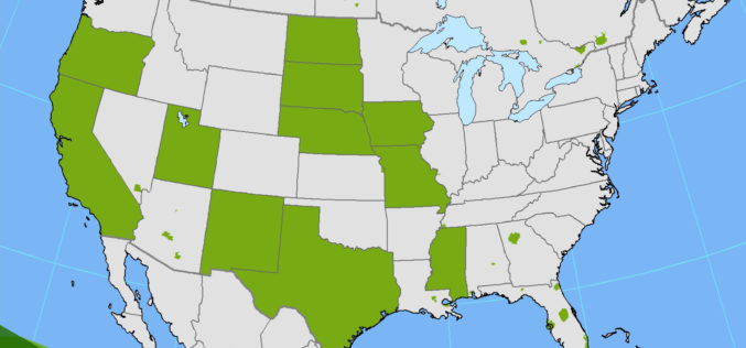
Imagery for a full 11 states plus portions of six other states in the U.S. have been provided in the HxIP as part of its airborne imagery offerings from the


