
Tag "mapping"

IBM and Esri Team Up to Offer Cognitive Analytics and IoT in the IBM Cloud
Redlands, California—At this year’s IBM World of Watson event in Las Vegas, global smart mapping leader Esri announced that it now works with IBM users and developers to broaden the
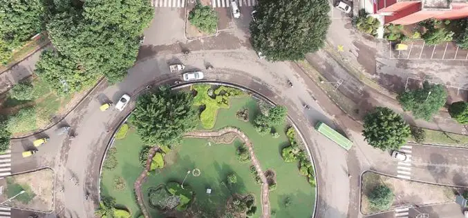
Central Government Directs Chandigarh to Complete Aerial Mapping Project Within 1 Year
According to recent news by The Indian Express, The Union government on has directed the Chandigarh administration to complete the project of digitization of land records in the city within the
NOAA Offers LiDAR Coastal Mapping Training
The National Oceanic and Atmospheric Administration (NOAA) has launched a self-paced, 80-minute online training introducing several fundamental concepts of LiDAR to help you get more out of your LiDAR point cloud data. The
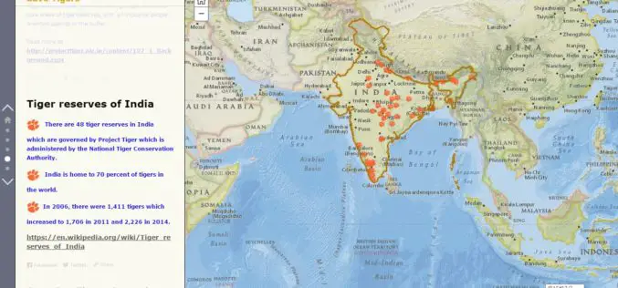
Why should we save Tigers – A Story Map
Contributed By:- The tiger is one of the largest and most awesome predators in the world. This species undoubtedly fascinates every eye it meets. Tiger is solitary and territorial and
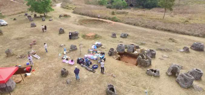
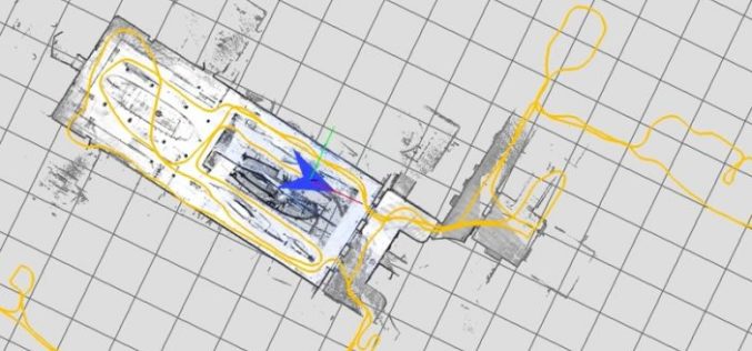
Archaeologists Use Drones to Build 3D Virtual-Reality Map
Archaeologists at The Australian National University (ANU) and Monash University are conducting a trial of new technology to build a 3D virtual-reality map of one of Asia’s most mysterious sites
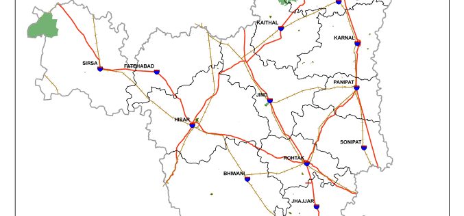
Haryana is Developing GIS-based Digital Map of Forest Areas in the State
According to the recent news, Haryana forest department is using geographic information system (GIS)-based digital mapping of forest areas in the state, this will add better monitoring and conservation of
Google Releases LiDAR SLAM Algorithms, an Open Source Cartographer Mapping Solution
Google has released open-sourced Cartographer, a real-time simultaneous localization and mapping (SLAM) library in 2D and 3D with ROS (Robot Operating System) support. This technology which works with the open
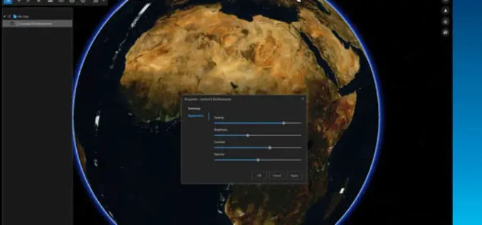
ArcGIS Earth Just Got Even Better With Launch of ArcGIS Earth 1.3
ArcGIS Earth 1.3 with Control Vertical Exaggeration and Image Properties With ArcGIS Earth 1.3 you can now do more with terrain, imagery, and KML. You will also discover authentication improvements
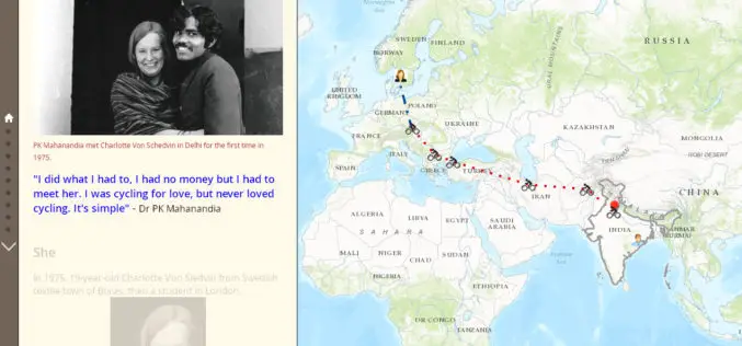
1975 A Love Story: The man who cycled from India to Europe for love
• Peru’s first satellite image reveals Cuajone, a large copper mine in the south of the country Contributed By: 1975 A Love Story The man who cycled from India to

senseFly to Unveil New RTK/PPK-Ready, Large Coverage Mapping Drone at INTERGEO 2016
New eBee Plus system includes: long-flying fixed-wing airframe; photogrammetry-optimised RGB sensor; next-gen flight & data management software senseFly, the world’s first choice producer of professional mapping drones, will introduce its
