
Tag "mapping"

University of the Cordilleras Launches GIS Based Dengue Surveillance System
BAGUIO CITY – Following the increase of dengue cases in the Summer Capital, the University of the Cordilleras will pilot test several barangay for its Geographic Information System-based dengue and

LiDAR Technology for Monitoring Bridge Structure Defect and Health
Road infrastructure of a country plays a crucial role in the national economy. Among all road infrastructure, Bridges are one of the vital assets and histories has given us various evidence
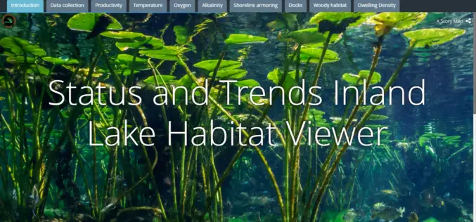
Michigan Department of Natural Resources Launches New Web-based Mapping Tool
The Michigan Department of Natural Resources has recently launched a new web-based mapping tool – the Inland Lake Habitat Viewer – to provide the public with information about the state’s inland lakes.
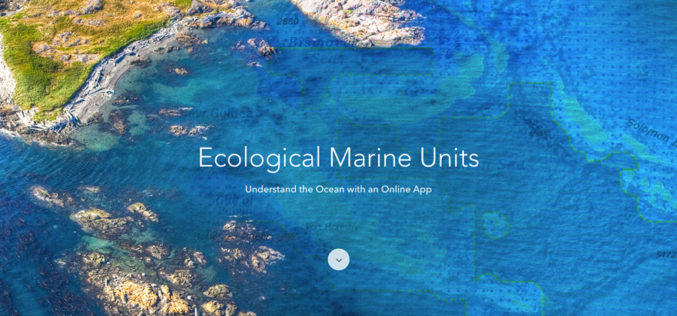
Esri Releases EMUs to Understand the Ocean
GIS Enables a New Way to Measure Marine Environments Redlands, California—Esri, the world leader in smart mapping technology, announced a whole new way of measuring the ocean on September 15,

Esri Webinar: Transform Conservation with Drone2Map for ArcGIS
Conservationists are being called on to do more with less. In the face of climate change, widespread pollution, and urbanization, conservation has become paramount to the health and well-being of
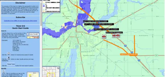
Shelby County, Indiana to Get New Mapping System
According to recent news reported by The Shelbyville News, Shelby County’s GIS board of directors has given up a positive node to the purchase of the new LIDAR mapping database. All
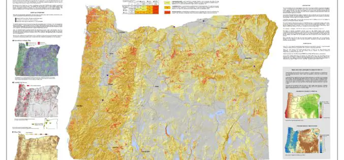
Oregon Landslide Mapping Methods Defined in New Paper
PORTLAND, Ore. – A new paper shows how Oregon geologists map the state’s susceptibility to deep landslides. The paper, published today by the Oregon Department of Geology and Mineral Industries

PrecisionHawk and Skyward Partner to Provide Full-Service Drone Platform to Commercial Customers
PrecisionHawk’s leading UAVs, data mapping and analysis software and LATAS safety platform will be connected to Skyward’s operations management platform to provide a holistic drone workflow for the commercial market
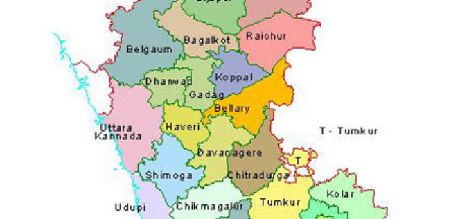
Karnataka to Identify Flood-prone Areas With New Maps and Geo-apps
Karnataka, India – According to recent news by the ET Tech, the Karnataka State Natural Disaster Monitoring Centre (KSNDMC) has initiated an exercise to develop high-resolution contour maps for Bengaluru
Boundless Exchange 1.0 is Now Available!
Your Open Portal for Spatial Collaboration Boundless Exchange 1.0, a GIS content management platform powered by open source technology, is now available. Boundless Exchange enables spatial and mapping capabilities via
