
Tag "PCI Geomatics"

Geomatica 2016 Release Highlights
Geomatica 2016 Release Highlights March 15, 2016 | 4:00 AM EST – 9:00 AM (GMT) | 2:00 PM EST – 7:00 PM (GMT) PCI Geomatics is the developer of Geomatica- a complete
PCI Geomatics Releases GXL 2016
MARKHAM, Ontario, Canada – March 1, 2016: PCI Geomatics, a world leading developer of remote sensing and photogrammetric software and systems, announced today the release of its GeoImaging Accelerator (GXL)

PCI Geomatics to Hold User Group Meeting in Ottawa, Canada
PCI Geomatics, a world leading developer of remote sensing and photogrammetric software and systems, will be holding a User Group Meeting in Ottawa, Canada on February 4th, 2016. The free
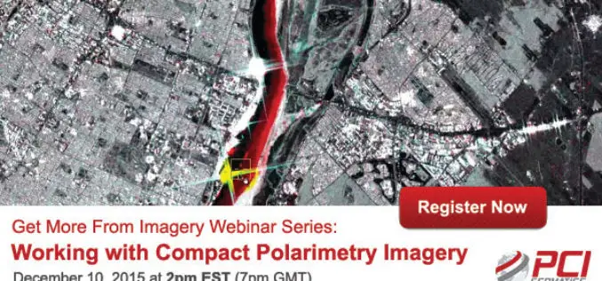
PCI Geomatica Webinar Series: Working with Compact Polarimetry Imagery
Get More From Imagery Webinar Series: Working with Compact Polarimetry Imagery Dec. 10, 2015 at 2pm EST (7pm GMT) Add Geomatica Radar tools to your software suite, and learn how to
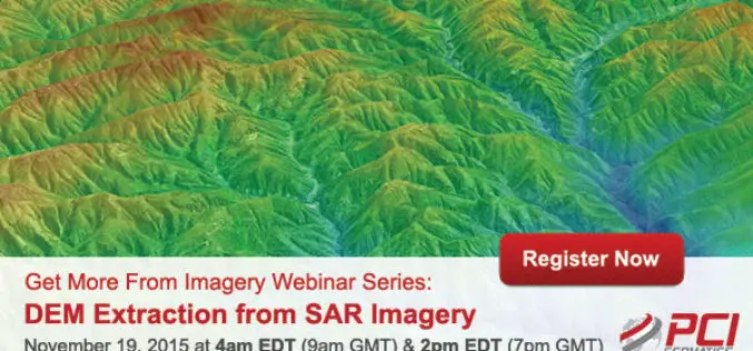
Webinar Series: DEM Extraction from SAR Imagery
Get More From Imagery Webinar Series: DEM Extraction from SAR Imagery Nov. 19, 2015 at 4am EDT (9am GMT) | Nov. 19, 2015 at 2pm EDT (7pm GMT) PCI Geomatics is the

Volumetric Analysis and DEM Applications Using PCI Geomatica
Volumetric Analysis and DEM Applications Nov. 5, 2015 at 4am EDT (8am GMT); Nov. 5, 2015 at 2pm EDT (6pm GMT) PCI Geomatics is the developer of Geomatica- a complete and
PCI Geomatics Webinar: Ortho-Mosaicking with Geomatica
Webinar: Ortho-Mosaicking with Geomatica PCI Geomatics is the developer of Geomatica- a complete and integrated desktop software that features tools for remote sensing, digital photogrammetry, geospatial analysis, map production, mosaicking

PCI Geomatics Releases Geomatica Developer Edition
PCI Geomatics, a world leading developer of remote sensing and photogrammetric software and systems, announced today that it has released the Geomatica Developer Edition (GDE). GDE puts the power of Geomatica
Master Geomatica from the comfort of your Home! 2015 Training Sessions on Now!
PCI Geomatics is the world leader in geo-imaging products and solutions. PCI Geomatics has set the standard in remote sensing and image processing tools offering customized solutions to the geomatics
SAR Processing in Geomatica – Online Training
SAR processing in Geomatica is an advanced course that explores data preparation, processing and analysis techniques for working with Synthetic Aperture Radar (SAR) data. In this 3-day course, participants will
