
Archive

Topcon Announces New Wi-Fi Capability for Imaging Station
LIVERMORE, Calif., USA/ CAPELLE A/D IJSSEL, The Netherlands – March 7, 2017 – Topcon Positioning Group announces the addition of advanced connectivity options to its DS-200i direct aiming imaging station. The

World Bank in Partnership with AEDB Launched a Series of New Solar Potential Maps for Pakistan
According to recent news reported by The news International, The World Bank, in partnership with the Alternative Energy Development Board (AEDB) has recently launched a series of new solar maps for

Humanitarian OpenStreetMap Team – Malaria Mapping YouthMappers Challenge
Humanitarian OpenStreetMap Team member Mr. Russell Deffner along with Geoffrey Kateregga are managing a mapping project for malaria eradication across seven countries in Southern Africa, Southeast Asia, and Central America.
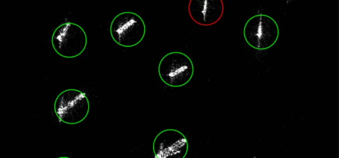
MDA to Provide RADARSAT-2 Information for Maritime Surveillance
Vancouver, BC – MacDonald, Dettwiler and Associates Ltd. (“MDA” or the “Company”) (TSX: MDA), a global communications and information company, today announced that it has signed three contracts with a
Earth Firmly in View – Sentinel-2B Satellite Successfully Launched
Another ‘guardian’ of the European Earth observation programme Copernicus is in orbit Together with its ‘twin satellite’ Sentinel-2A, the new environmental monitoring system Sentinel-2B doubles the recording frequency. Every point
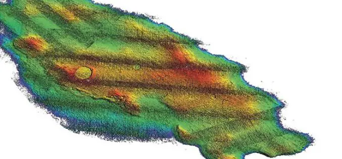
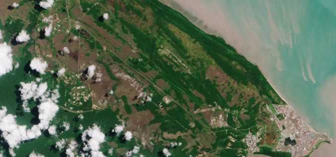
3D Map Tools Launched for Maltese Islands
According to recent news by the Times of Malta, Cloudisle – a series of baseline 3D maps of Malta that will serve as the base for research in cross-thematic fields –
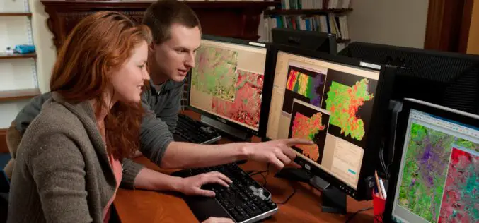
FICCI Report Highlights Importance of Geospatial Technologies in India
A report released by the Federation of Indian Chambers of Commerce and Industry (FICCI) suggested that the need-based pull for usage of geospatial tools and data has begun. From the
Gender Data in GIS Helps Reduces Climate Change Impacts
New Delhi, India – Gender in Geographic Information System (GIS), though new, plays a significant role in helping disaster risk management, and reducing environmental and climate change impacts in vulnerable

Vricon Announces Reseller Agreement with Esri
McLean, VA — March 3, 2017 — Vricon, a leading provider of highly accurate photorealistic 3D products and elevation data of the earth, today announced it has signed a reseller agreement with
Geospatial Information and Technology Association (GITA ) 2017 Scholarship Program
Geospatial Information and Technology Association (GITA ) is involved in professional education activities throughout the year generate funds which are used to award scholarships to deserving students. These scholarships are
