
GIS

Drones Soon to Check Illegal Mining
Chennai – According to recent news reported by The New India Express, Madras High Court has directed the State government and the Union Ministry of Mines to take a decision
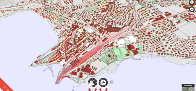
Cesium’s 3D Tiles Selected for Swiss Geospatial Portal
Swiss government agency adopts Cesium & its 3D Tiles format to offer extensive national geodata collection via BETA Version of an online interactive portal. PRWeb – Switzerland’s national mapping agency,
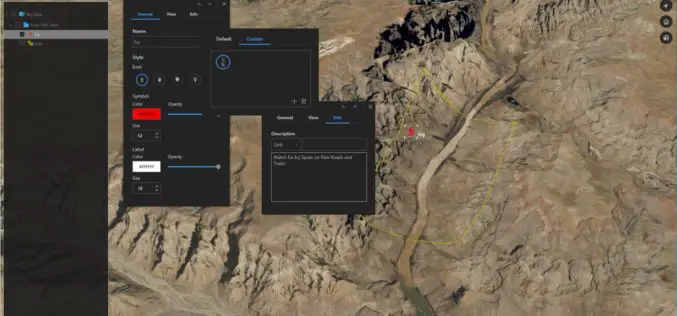
Download for Free – Esri Release ArcGIS Earth 1.4
Recently Esri 3D team has announced the release of ArcGIS Earth 1.4. ArcGIS Earth 1.4 introduces great new features that will enhance workflows for visualizing data, accessing portals, and sharing across
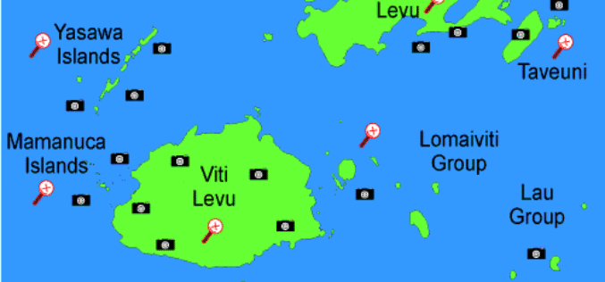
Fiji Adopted GIS to Help in Improving Natural Disaster Risk Development
According to the recent news reported by The Fiji Times Online, the office of the Commissioner Western will have access to information which will help in the visualization of the
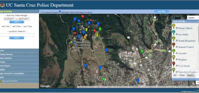
UC Santa Cruz Police Department has Launched Crime Mapping Website
According to recent news by the UC Santa Cruz, the UC Santa Cruz Police Department has launched a new website mapping crime reports on the UC Santa Cruz campus community. The new website

Indian Economic Survey 2017 Indicated ULBs Can Use Satellite Imagery for Property Mapping
According to recently report by the MonetControl Bureau – The Economic Survey 2017 indicated that the urban local bodies could use satellite imagery to map properties and generate additional revenue
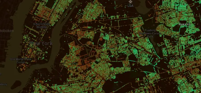
MIT in collaboration with World Economic Forum Launch Treepedia To Measure Green Canopy in Cities
Researchers at MIT, in collaboration with the World Economic Forum, has recently launched a new platform that uses Google Street View data to measure and compare the green canopy in
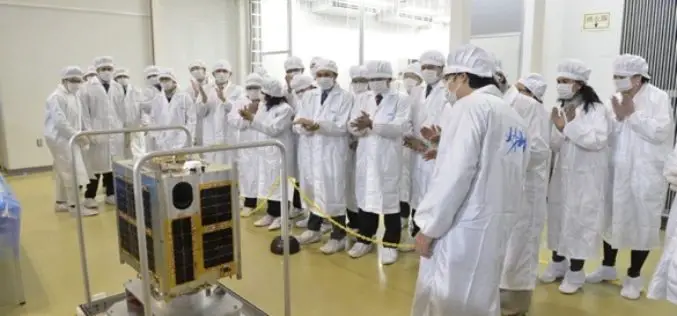
Philippines Joins Space Race with the Launch of Diwata-1 Microsatellite
According to recent news reported by IPS – The Philippines, has joined the colossal world of space technology, building its second microsatellite that it plans to launch late this year or

Mapping & Geospatial Industry in India to Grow Manifold in a Decade
Hyderabad – PTI – The mapping and geospatial technology area in the country are estimated to witness business of a whopping Rs 1 lakh crore in the next 10 years, Surveyor

Vietnam: GIS to Prevent Infectious Diseases
According to recent news by the Vietnam Bridge, the Ho Chi Minh City (HCM) of Vietnam has decided to promote its geographic information system (GIS), to prevent infectious diseases. The statement was
