
GIS
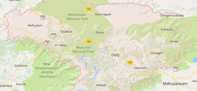
Geological Survey of India to Map Landslide-prone Zones in Nilgiris
According to recent news by TOI, almost three years back the Geological Survey of India (GSI) has started the process of mapping landslide-prone zones in the Nilgiris (Western Ghats of India),
Maharashtra Adopted Geospatial Technology to Digitize and Decentralise MGNREGA Works
According to recent news by the DNA, the Maharashtra State Government gearing up to implement the geographic information system (GIS) to digitize and decentralize the planning, monitoring, and implementation of the
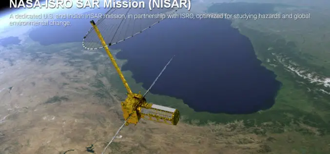
Opportunity for Young Scientist to be a Part of NASA-ISRO Synthetic Aperture Radar (NISAR) Data Program
AHMEDABAD: Here is a chance for young scientific researchers and data crunchers to be part of Isro’s ambitious NASA-ISRO Synthetic Aperture Radar (NISAR) satellite data analysis program. This will be

International Day of the Girl Child – 11 October
Contributed By: October 11, 2012, was the first Day of the Girl. Since then October 11 has been observed as the International Day of the Girl Child by the United Nations. The
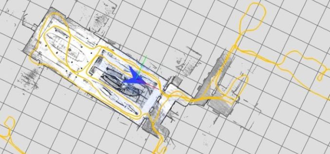
Google Releases LiDAR SLAM Algorithms, an Open Source Cartographer Mapping Solution
Google has released open-sourced Cartographer, a real-time simultaneous localization and mapping (SLAM) library in 2D and 3D with ROS (Robot Operating System) support. This technology which works with the open
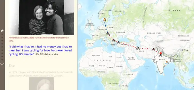
1975 A Love Story: The man who cycled from India to Europe for love
• Peru’s first satellite image reveals Cuajone, a large copper mine in the south of the country Contributed By: 1975 A Love Story The man who cycled from India to
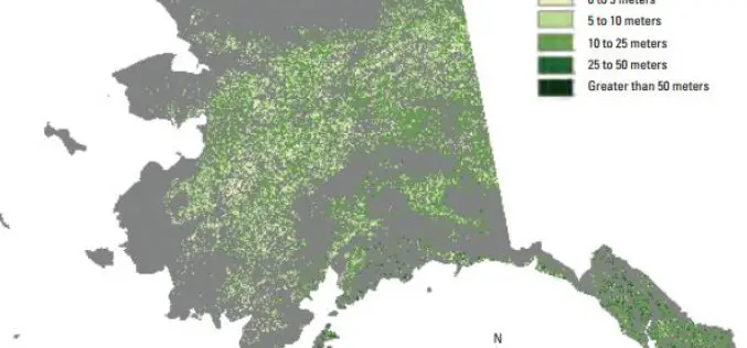
Enhanced Canopy Fuel Mapping by Integrating LiDAR Data
Background The Wildfire Sciences Team at the U.S. Geological Survey’s Earth Resources Observation and Science Center produces vegetation type, vegetation structure, and fuel products for the United States, primarily through

Iran Signed Deal on Remote Sensing Satellite Signed by Russia
TEHRAN, Oct. 02 (MNA) – ICT minister Mahmoud Vaezi said the final agreement for the construction and launch of the National Remote Sensing Satellite has been signed by the Russian satellite
University of the Cordilleras Launches GIS Based Dengue Surveillance System
BAGUIO CITY – Following the increase of dengue cases in the Summer Capital, the University of the Cordilleras will pilot test several barangay for its Geographic Information System-based dengue and
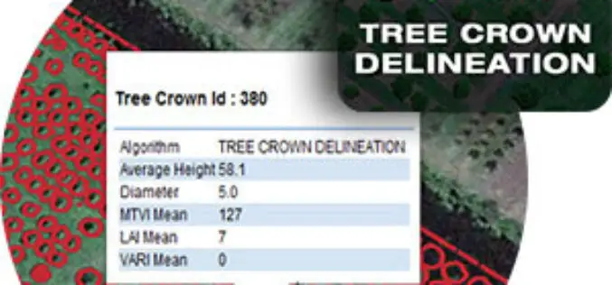
Tree Crown Delineation a New App to Monitor Trees
The latest drone app, Tree Crown Delineation automatically identifies individual tree crowns in your aerial survey. It also generates a geospatial layer of tree crowns with overall health level and
