
GIS

Bihar the Most Flood-prone State of India Aided by New Satellite Mapping
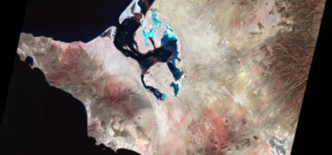
BHUBANESWAR, India (Thomson Reuters Foundation) – Every year Bihar is deluged by floods that submerge roads, destroy homes and wash away crops, leaving the disaster management authority struggling to monitor
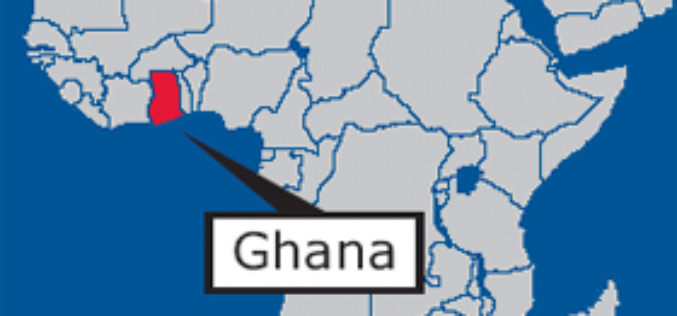
GIS Data Hub Established in Cape Coast: Ghana
According to the recent news reported by the Ghana Business News, a Geographic Information System (GIS) Data Hub has been created for the Department of Town and Country Planning in Cape
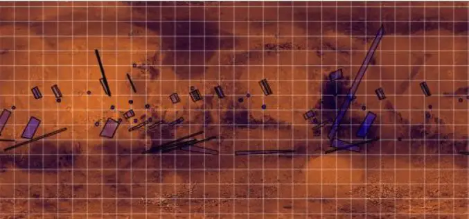
ISRO Released Data of Mars Orbiter Mission (MOM)
On September 24, 2016, Chairman, ISRO and Secretary, Department of Space has released the first year of MOM Long-term archive data for the duration of Sept 24, 2014, to Sept 23, 2015,

Chandigarh Begins UAV Based Aerial Survey of Properties
According to the recent news by The Indian Express, Chandigarh has become the first city in the country to conduct an aerial survey of properties using drones. The Chandigarh administration

Tanzanian City Deploys GIS to Raise Revenue Collection
According to recent news by the All Africa, Dar es Salaam Municipal Council, Tanzania is expecting to collect 60bn/- per year up from 6.0bn/- after improvement on the geographic information system (GIS). The

Pakistan to Launch First Remote Sensing Satellite by 2018
Islamabad [Pakistan], According to recent news by the ANI, with space technology being used in the planning and monitoring of China-Pakistan Economic Corridor (CPEC) projects, the Pakistan Space and Upper
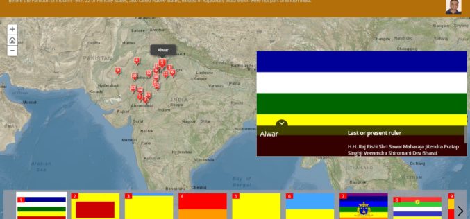
History of Princely States of Rajasthan through Story Map
Contributed By: Before the Partition of India in 1947, there was 562 Princely States existed in the Indian subcontinent which had not been conquered or annexed by the British but was subject
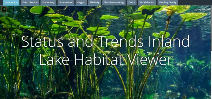
Michigan Department of Natural Resources Launches New Web-based Mapping Tool
The Michigan Department of Natural Resources has recently launched a new web-based mapping tool – the Inland Lake Habitat Viewer – to provide the public with information about the state’s inland lakes.
Earth on AWS: Large Geospatial Datasets Available on the Amazon Web Services
Amazon Web Services (AWS) had launched the Landsat on AWS in the year of 2015, a Public Dataset made up of imagery from the Landsat 8 satellite. On September 16, 2016 (AWS Blog),

Drones to Monitor Indian Railways Projects
PTI- NEW DELHI: Stepping up the monitoring mechanism, railways has opted for the state of the art surveillance devices such as drone and geo-based spatial based satellite technology to monitor
