
Software

Cartoview Enterprise GeoSpatial Application Platform Release
Cartoview is an open source web framework for managing and deploying geospatial and business Applications, the architecture of Cartoview makes it easy to efficiently develop and maintain and deploy GIS
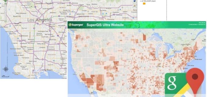
Powerful GIS Web Manager in SuperGIS Server 3.2
Supergeo, the leading GIS software and solution provider, released the newest version of SuperGIS Server 3.2 to help enterprises share diverse geospatial data effortlessly. The latest SuperGIS Server 3.2 is

Geospatial Corporation Releases Geounderground Version 2.2
Latest Release of Cloud-Based GIS Offered as Free 14-Day Trial; Includes Geo-Docs File Sharing Platform and Access to Updated Interactive Tutorial PITTSBURGH, February 2, 2015 — (OTC Pink: “GSPH”), Geospatial

SimActive Launches Version 6.0 with Revolutionary Photogrammetric Workflow
SimActive Inc., a world-leading developer of photogrammetry software, is pleased to announce Correlator3D™ version 6.0. A revolutionary new interface introduces streamlined image processing for any sensor type. New features include

Wow ! Google Earth Pro Is Now Free
Recently Google has announced that Google Earth Pro is now available for free. Google Earth Pro is geospatial software that has all the easy-to-use features and detailed imagery of Google Earth, along with

ArcGIS 10.3 Now Certified OGC Compliant
Esri Users Benefit from Interoperability Standard As part of Esri’s ongoing support of GIS interoperability, the latest ArcGIS 10.3 release is now certified as Open Geospatial Consortium, Inc. (OGC), compliant. This

Sahaaya App to Help Bengaluru Citizens in Civic Woes
In recent news, Bruhat Bangalore Mahanagara Palike (BBMP) has launched Sahaaya app, a GIS-based interface, to help citizens lodge complaints regarding civic woes. BBMP Sahaaya (Help) is a easy and user friendly
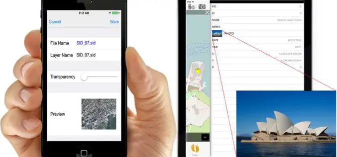
iOS Mapping Solution, SuperSurv, Enhances Raster Data Support
Supergeo releases the latest update of SuperSurv 3.2 (iOS) to enhance the functionality and efficiency for mobile GIS surveyors. Having stronger compatibility with raster dataset and convenient tools for data
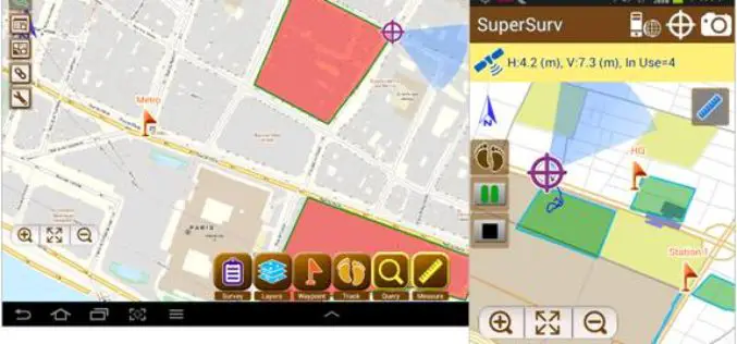
SuperSurv 3.2 Release Advanced GPS Support and Data Collection Functions
Developed by Supergeo, the latest version of SuperSurv (Android) 3.2 is upgraded with stronger data collecting function by GPS and more precise and easy-to-use GPS manipulation interface, bringing

ArcGIS Explorer is Now Available for Android
Finally the long awaiting ArcGIS Explorer on Android is now available in the Google Play Store. ArcGIS Explorer is a free GIS viewer that gives you an easy way to
