
Software

GeoCue Group Announces Release of GeoCue 2014.1
Huntsville, AL – GeoCue Group Inc. is pleased to announce the release of GeoCue 2014.1. GeoCue is the world’s most powerful and popular geospatial production management software, available as a

SuperSurv 3.2 Supports iOS 8 and Enhances GPS Display
SuperSurv (iOS) 3.2, the field data collecting app for iPhone and iPad users, now fully supports iOS 8 and enhances GPS display with optimal user experiences. Developed by Supergeo, SuperSurv

Avia-GIS Developed Apps to Combat Diseases Spread by Pests
In recent news by ESA, a consortium led by Avia-GIS in Belgium and supported by ESA has developed Vecmap – an all-encompassing software and services package including a smartphone app for

TerraGo Unveils Groundbreaking OpenGeoPDF Technology
OpenGeoPDF is a collection of technologies that combine open spatial database features and application logic within portable, intelligent maps. TerraGo, a leading global provider of location intelligence solutions, is pleased

eCognition Essentials-Powerful Out-of-the-Box Land Cover Mapping Solution
eCognition Essentials is a new software solution for geospatial and remote sensing professionals performing land cover mapping tasks using imagery. eCognition Essentials offers an intuitive image analysis solution that allows users

OpenLayers 3-Cesium Open Source Release
A joint effort between Camptocamp, Boundlessgeo and Klokantech, allowed to start and release the first version of an Open Source community library with the goal to synchronize an OpenLayers 3

QGIS 2.6 Brighton Has Been Relaesaed
The new version of QGIS 2.6 has been released. QGIS is a free and open source geograaphic information system (GIS). The new version has come up with many
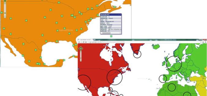
Various APIs in SuperGIS Server 3.2 Improve Customization Flexibility
Supergeo Technologies, the global leading GIS software and solution provider, releases rich JavaScript APIs (Application Programming Interface) to assist SuperGIS Server 3.2 users in customizing plentiful and intuitive map websites.

Facebook Debuts Location Based Safety Check Tool
In times of disaster or crisis, people turn to Facebook to check on loved ones and get updates. It is in these moments that communication is most critical

Visually Challenged Soon Have 3D Printed Maps
Recently in news, Japan’s cartographic authorities have announced that it has developed a software that allows users to download data from the internet and produce low cost geographical maps
