
Software

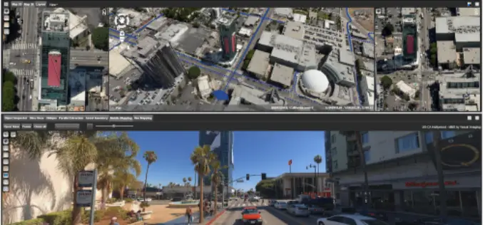
TerraGo Edge Version 4.2 Enhances Field User Experience and Mobile Mapping
December 4, 2017 – TerraGo is happy to announce the availability of TerraGo Edge Version 4.2 and any app created with the TerraGo Magic zero-code app platform includes enhancements to the user experience that accelerate
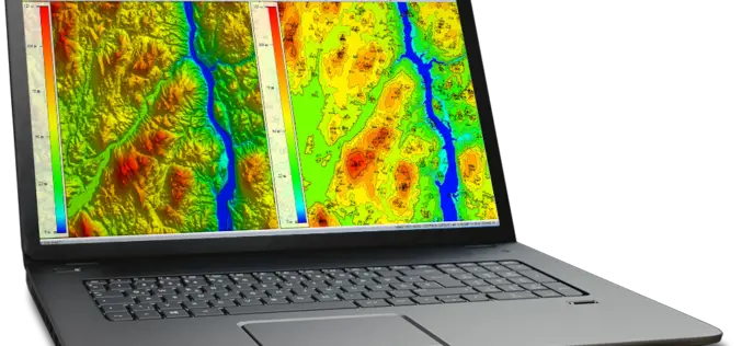
Create Photogrammetric Point Cloud Using Global Mapper Pixels-to-Points Tool
Global Mapper LiDAR Module v.19 Now Available with Pixels-to-Points™ Tool for Photogrammetric Point Cloud Creation November 29, 2017 – Blue Marble Geographics is pleased to announce the release of version 19 of the

Building a Unique GIS Website without Coding by Brand New SuperGIS Server 10
Supergeo, the global leading GIS software provider, is glad to announce its brand-new GIS server software, SuperGIS Server 10, is expected to be launched in the mid-November! Inheriting the high

Global Mapper SDK Now Available on Amazon Web Services
Hallowell, Maine – November 16, 2017 – Blue Marble Geographics (bluemarblegeo.com) is pleased to announce that the Global Mapper Software Development Kit (SDK) has been expanded to provide data processing capabilities
Orbit GT Releases 3D Mapping Feature Extraction Standard v18
Orbit GT launches the 3D Mapping Feature Extraction Standard product version 18. “We’re pleased to announce the release of our second product from the Feature Extraction portfolio”, says Peter Bonne,

AppStudio version 2.1 for ArcGIS is Now Available
Esri’s AppStudio for ArcGIS is a pioneering tool in the GIS app development. It helps to create simple maps into beautiful mobile app friendly ready for various mobile operating systems such as iOS, Android, Windows etc, with no developer skills required.

AirMap and Kespry Partner for Safe, Compliant Drone Flights
New integration brings AirMap airspace intelligence to the Kespry platform for automated drone operations Santa Monica, CA (November 9, 2017) – AirMap and Kespry has announced a partnership that brings AirMap’s best-in-class airspace intelligence, including airspace

SimActive Automates Direct Georeferencing
October 31, 2017 – SimActive is pleased to announce an automated solution for direct georeferencing from real-time kinematic (RTK) positioning. Within the new workflow feature, users can easily get high accuracy

New Tool Allows Users to Explore Mountains Worldwide
A new tool that gives users the most detailed view yet of the world’s mountains is now available from the USGS. And it’s as close as your computer or cellphone.
Global Mapper and LiDAR Module SDK v19 Released with Expanded Online Data Support and Improved LiDAR Ground Point Detection and Reclassification
Hallowell, Maine – October 17, 2017 – Blue Marble Geographics (www.bluemarblegeo.com) is pleased to announce the immediate availability of version 19 of the Global Mapper Software Development Kit (SDK) along with
