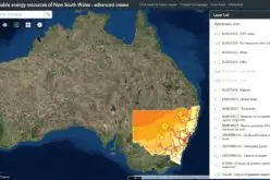
According to recent news by the Hindustan Times, Maharastra Chief Minister Devendra Fadnavis has informed in State Assembly that contour mapping will be made mandatory for builders who seek permission to build a structure in Mumbai, so precautions can be taken to prevent danger to the lives of people during flooding in low-lying areas.
The outcome is the recommendations made by the Madhav Chitale Committee appointed by the state after the deluge in 2005. Considering Mumbai’s topography, the impact of tidal waves and the problems in the dispersal of floodwater, if heavy rain coincides with high tide, contour mapping is necessary to plan construction in low-lying areas, the committee had recommended.
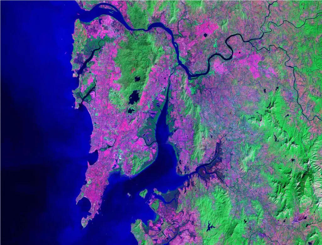
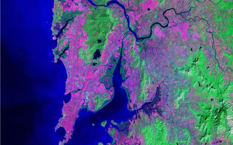
Satellite Map of Mumbai
Contour maps show the elevations of ground above the mean sea level and help plan the dispersal of floodwater during the monsoon.
Chief minister Devendra Fadnavis has also said:
The government will also prepare a module for satellite-based monitoring to prevent encroachments in Mumbai and will also bring in a new policy on encroachments.
If we get satellite maps every month, we can spot the encroachments and taken immediate action.
He said a report of a committee appointed by a high court to deal with encroachments is received by the government and is being looked into. A policy on encroachments with stern measures to prevent squatters would be brought out by the government soon, he said.