
Tag "API"

How APIs Can Improve Building and Architectural Design
As technology evolves, our structures and lifestyles transform with it. We went from living in mud houses to brick to concrete and wood. As new methods are used, new types

OGC Seeks Public Comment on Proposed Geocoding API Standards Working Group
September 5, 2017 – The Open Geospatial Consortium (OGC®) is requesting comments on the draft charter for an OGC Geocoding API Standards Working Group (SWG). Geocoding is the act of linking

HazardHub Democratizes Hazard Risk Data with New API
For the first time, geographic risk data is available via a real-time API for inclusion to clients’ internal systems. San Diego, CA (PRWEB) January 17, 2017 – HazardHub, the nation’s first
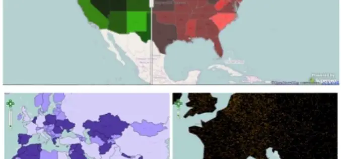
Get Geared Up! Dynamically Render Your Map Using New JavaScript APIs
Supergeo has been improving JavaScript APIs since the first release of SuperGIS Server 3.2 to let developers customize their web applications more flexibly. For example, they can customize info window

PR: Now Add Location Intelligence to Apps with MapmyIndia Map APIs
18th March, New Delhi: MapmyIndia today announced the public launch of its Map API platform for software developers and enterprises. MapmyIndia’s API (Application Programming Interface) platform consists of individual APIs

Geospatial Corporation Releases Geounderground Version 2.2
Latest Release of Cloud-Based GIS Offered as Free 14-Day Trial; Includes Geo-Docs File Sharing Platform and Access to Updated Interactive Tutorial PITTSBURGH, February 2, 2015 — (OTC Pink: “GSPH”), Geospatial

Google to End Support for Google Maps Engine
In an official Google user group, it has been informed that Google will end support for the Google Maps Engine. Google will provide support for the Google Maps Engine (GME) product

SuperGIS Webinar: Monitor Environment Changes with 3D GIS Tech
Supergeo is going to hold a webinar to show how 3D GIS can be applied to rapid changes of natural and urban environments with SuperGIS 3D Earth Server 3.2, the
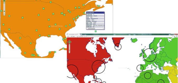
Various APIs in SuperGIS Server 3.2 Improve Customization Flexibility
Supergeo Technologies, the global leading GIS software and solution provider, releases rich JavaScript APIs (Application Programming Interface) to assist SuperGIS Server 3.2 users in customizing plentiful and intuitive map websites.
