
Tag "Earth Observation"

EarthServer: More Than 1 Petabyte Analysis-Ready Data
November 2017 – EarthServer, the European Union Big Data initiative, has reached the next milestone: Today in the second phase extending through April 2018, the Italian data provider MEEO S.R.L.

ESA Invites Proposals to Promote Scientific Exploitation of Satellite Data
ESA’s EO Science for Society programme aims to promote scientific exploitation of satellite data, pioneer novel applications and develop pre-commercial services while maximising the use of information and communications technologies. In
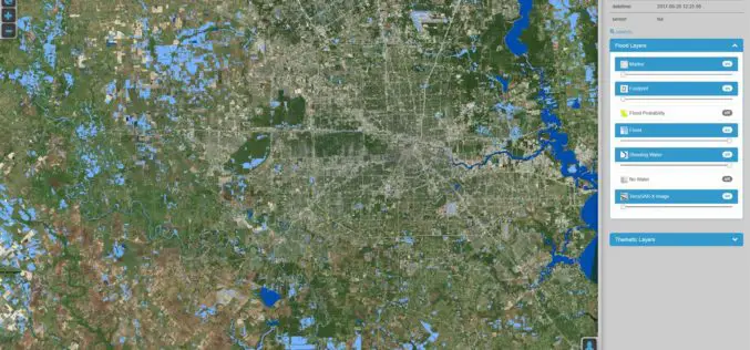
DLR Provides Satellite Data for Hurricane Harvey
DLR provides satellite data for Hurricane Harvey Radar images from TerraSAR-X German Aerospace Center (DLR) provides real-time recordings and archive data of the German radar satellite TerraSAR-X. DLR supports hurricane
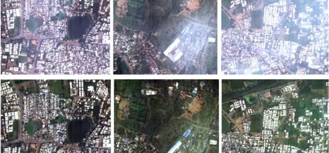
ISRO: Haze Removal Algorithm Developed for Cartosat Images
ISRO – High-resolution optical imaging Earth Observation Satellite (EOS) systems such as CARTOSAT provide multi-spectral remote sensing data in the visible and near-infrared (VNIR) wavelengths of the order of sub-meter
Vricon among First Companies on GSA Earth Observations Solutions
McLean, VA – 14 August 2017 –Vriconannounced today that it is among the first companies to offer GEOINT solutions on the General Services Administration’s (GSA) new Earth Observations Solutions Special
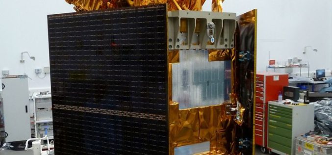
Airbus-built Sentinel-5 Precursor Satellite Ready for Launch
Stevenage 20/07/2017 – Europe’s pollution monitoring satellite Sentinel-5 Precursor is ready to leave Airbus’ Stevenage site for launch on a Rokot rocket from Plesetsk Cosmodrome, Russia.Sentinel-5 Precursor is part of

UrtheCast and Esri Partner in Bringing Imagery to Life in ArcGIS
Madrid, Spain, July 11, 2017 – UrtheCast Corp. and its subsidiary, the Earth Observation company Deimos Imaging, today announce a broad partnership with Esri, starting with a new UrtheCast imagery service

Airbus Global Earth Observation Challenge
Global Earth Observation Challenge Come up with new business ideas based on Satellite Data! You are a driven start-up ready to take on a challenge that uses the best technology
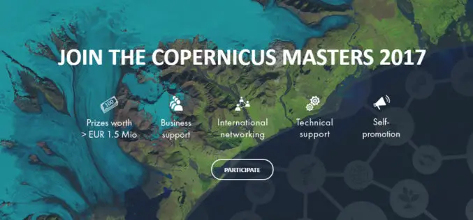
The Copernicus Masters Competition Countdown is On! Sign Up by 30 June
Earth Observation (EO) and big data possess a huge potential for the creation of innovative products and services. Many industries and areas of public interest benefit from the constant development
Excellence in space – 10 years of TerraSAR-X
The TerraSAR-X satellite has been in service for twice the planned time. The data has been providing valuable insights regarding changes to the Earth’s surface for the past 10 years.
