
Tag "LiDAR"
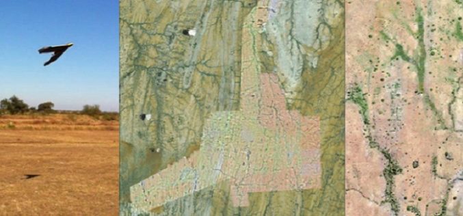
A Case Study: Using Drones in Place of LiDAR
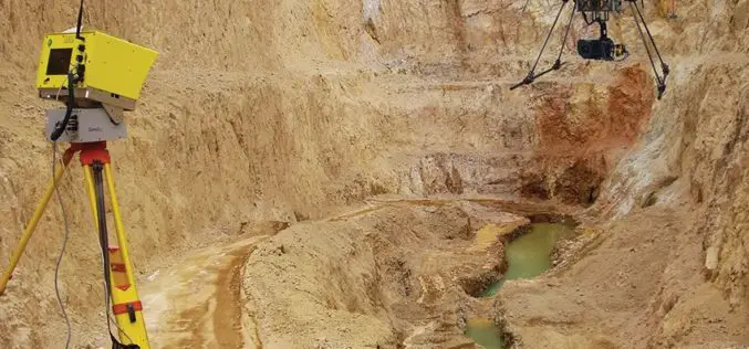
Energizer Resources Inc., has started a major flagship project, a large graphite mining project at coast of East Africa, in Madagascar. it is named the Molo Graphite Project, or simply
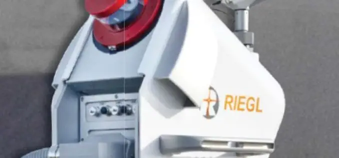
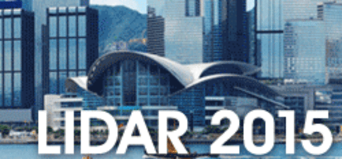
RIEGL LIDAR 2015 User Conference: RIEGL Presented Some Innovative Products
RIEGL launched the first part of its ambitious LIDAR 2015 “One Conference, Two Exciting Locations” in Hong Kong on May 05, 2015. The official welcome note was delivered by Mr.
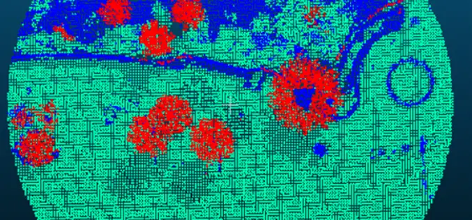
Forest Canopy LAI and Vertical FAVD Profile Inversion from Airborne Full Waveform LiDAR Data Based on a Radiative Transfer Model
Forest Canopy LAI and Vertical FAVD Profile Inversion from Airborne Full Waveform LiDAR Data Based on a Radiative Transfer Model – Han Ma, Jinling Song and Jindi Wang Abstract: Forest
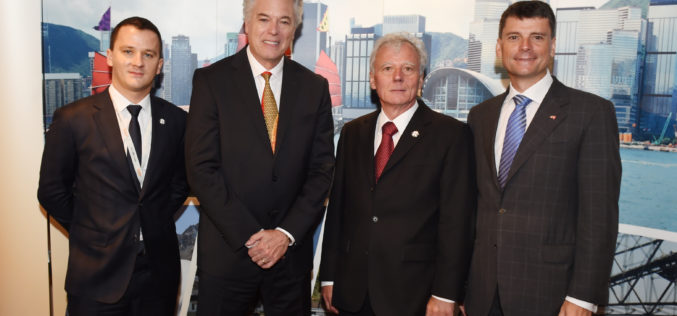
RIEGL LIDAR 2015 User Conference: Hong Kong Opening with Impressing Keynotes and Significant RIEGL Product News
RIEGL LIDAR 2015 User Conference Hong Kong and Guangzhou: Hong Kong Opening with Impressing Keynotes and Significant RIEGL Product News RIEGL launched the first part of its ambitious LIDAR 2015 “One Conference, Two

The 5most viewed UAVs for Mapping and 3D Modelling on Geo-matching.com
The Geo-matching.com website features a selection of the most important geomatics equipment, including UAS for Mapping and 3D Modelling. At www.geo-matching.com you can compare product specifications and read users’ reviews
One Conference, Two Exciting Locations: ONLY TWO WEEKS UNTIL RIEGL LIDAR 2015!
May 5-8, 2015: RIEGL LIDAR 2015 in Hong Kong and Guangzhou (Canton), China Attendees from over 40 different countries! More than 100 international expert speakers on the Agenda! Have you secured

Open Source Developers Signed a Letter Against Esri Proprietary LiDAR Format – “Optimized LAS”
We, the undersigned, are concerned that the current interoperability between LiDAR applications, through use of the open “LAS” format, is being threatened by ESRI’s introduction and promotion of an alternative
New LASliberator “frees” LiDAR from Closed Format
The latest product by rapidlasso GmbH – creators of LAStools and LASzip – is an open source tool aiming to liberate LiDAR points locked-up in proprietary “Optimized LAS” – a highly controversial, closed LiDAR format. The new LASliberator can
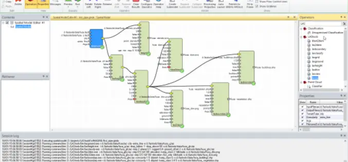
PR: LAStools Toolbox for ERDAS IMAGINE 2014 Released
The latest release of LAStools from rapidlasso GmbH contains a new toolbox for ERDAS IMAGINE 2014, allowing the users of Hexagon Geospatial’s powerful remote sensing software to utilize the popular rapidlasso LiDAR processing modules. The tools
Optech Presenting the Latest Mapping Solutions for Geosciences at EGU 2015
April 8, 2015 — Optech is pleased to announce that it will attend the 2015 European Geosciences Union (EGU) General Assembly in Vienna, Austria on April 12-17 to discuss the
