
Tag "LiDAR"
LiDAR Mapping Technique Finds Abandoned Mines in Forest
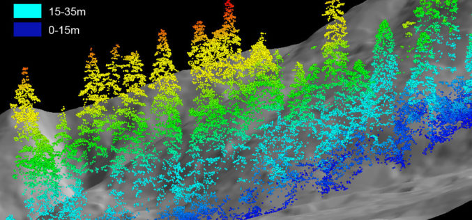
A project to determine the locations of abandoned mines in the Willamette National Forest could help firefighters and others avoid injuries. The Statesman Journal reports in a story on Saturday

World’s Biggest Aerial LiDAR Survey to Reveal Angkor Wat Historical Secrets
Angkor, in Cambodia’s Northern Province of Siem Reap, is one of the most important archaeological sites of Southeast Asia and listed in world heritage sites by UNESCO. Stretching over some
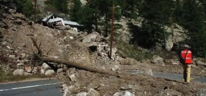
Aerial LiDAR to Study Impact of Colorado Flood on Soil Erosion
Anderson and colleagues use repeat aerial LiDAR to quantify the erosional impact of the heavy rains that inundated the Colorado Front Range in September 2013. One week of steady rain and

PR: Global Mapper SDK v16.1 Released with Faster Display of Online Data Sources
Hallowell, Maine – March 24, 2015 – Blue Marble Geographics (bluemarblegeo.com) is pleased to announce the release of the Global Mapper Software Development Kit (SDK) version 16.1. This release features
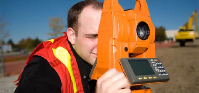
The 5most viewedTotal Stations on Geo-matching.com
The Geo-matching.com website features a selection of the most important geomatics equipment, including Total Stations. At www.geo-matching.com you can compare product specifications and read users’ reviews before you buy. Geo-matching.com

Malaysia is Using LiDAR to Detect and Predict Natural Disasters
In recent news by BERNAMA (Malaysian National News Agency), Malaysia is currently using a sophisticated system called ‘Light Detection and Ranging’ (LiDAR) to detect and predict natural disasters for managing disasters more efficiently
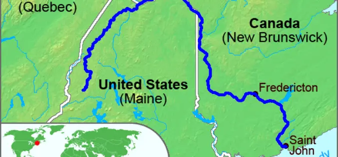
High-Precision Land-Cover-Land-Use GIS Mapping and Land Availability and Suitability Analysis for Grass Biomass Production in the Aroostook River Valley, Maine, USA
High-Precision Land-Cover-Land-Use GIS Mapping and Land Availability and Suitability Analysis for Grass Biomass Production in the Aroostook River Valley, Maine, USA – Chunzeng Wang , Jason Johnston, David Vail, Jared Dickinson and
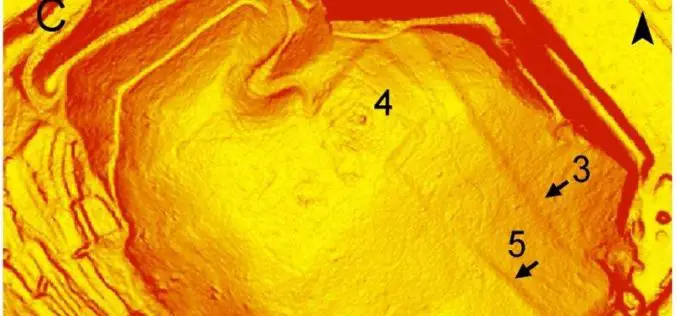
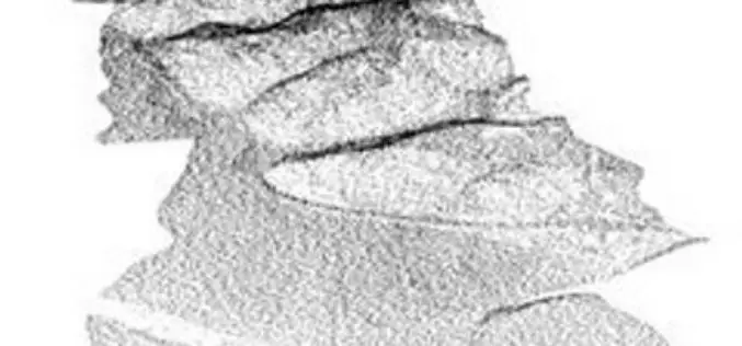
Airborne LiDAR Led To the Discovery of an Early Roman Fortification System
An interdisciplinary study by Federico Bernardini et.al., airborne light detection and ranging (LiDAR), ground penetrating radar (GPR), and archaeological surveys of the archaeological landscape of the Trieste area (northeastern Italy),

Webinar – A New Standard: Commercial Geiger-mode LIDAR
A New Standard: Commercial Geiger-mode LIDAR Tue, Mar 24, 2015 10:30 PM – 11:30 PM IST (Show in My Time Zone) Harris Corporation has developed the first commercially-available Geiger-mode LiDAR
First LAStools Workshop in Latin America
The week after Easter is poised to see Latin America’s premier LiDAR event of 2015 when LAStools, CloudCompare, and OpenTopography converge for the 3 day NPAC 2015 workshop in CICESE in Mexico. Just across the US border (one hour
