
Tag "maps"
Putting Disease on the Map
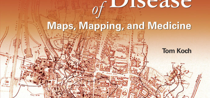
Esri Book Offers a Sweeping Historical Overview of Medical Mapping in a New, Expanded Edition of Cartographies of Disease: Maps, Mapping, and Medicine January 31, 2017 – Redlands, California—The new
Esri Maps the Way to a More Connected World at IoT West
Telecom Expert Explores the Ways Location Forms the Missing Link in the IoT Ecosystem Redlands, California—Global smart-mapping leader Esri today announced that telecom executive Randy Frantz will be featured at
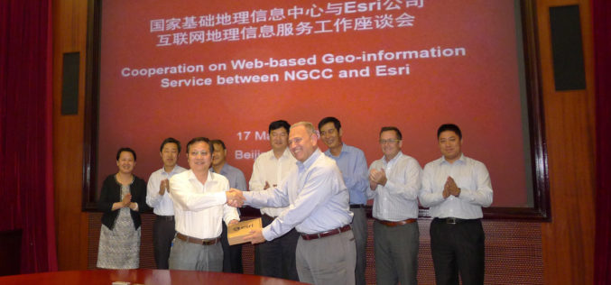
NGCC and Esri Provide Access to Authoritative Chinese Cartographic Maps and Imagery
Redlands, California—The world’s leading mapping platform company, Esri, and the National Geomatics Center of China (NGCC) held a signing ceremony in Beijing, China with respect to providing access to NGCC’s

Flipkart Launches its Flipkart Maps Services
According to recent news by The Economic Times, Flipkart, the online retail giant is about to make its debut on MapUnity, a Social Technology Lab by Dr. Ashwin Mahesh. MapUnity
The Power of Maps
The map is a powerful way to visualize data and tell stories. As the internet becomes more and more popular, it is a lot easier to share your maps than
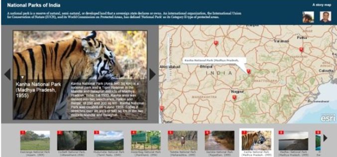
Story Maps by Esri Inc
Contributed By – What Kind of Story Do You Want to Tell? A. Sequential, Place-based Narratives 1. Story Map Tour℠ This app presents a sequential, place-based
IISC Bangalore is Developing 3D Terrain Maps to Forecast Floods
According to recent news by the Bangalore Mirror, scientists from the city-based Indian Institute of Science (IISc) are developing high-resolution 3D terrain maps by using geographic information systems (GIS) to visualise
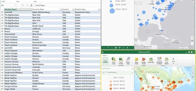
ArcGIS Maps for Office to Brings Mapping Capabilities into Microsoft Excel and Microsoft PowerPoint
ArcGIS Maps for Office, part of the ArcGIS platform, is an add-in for Microsoft Office that brings mapping capabilities into Microsoft Excel and Microsoft PowerPoint. With ArcGIS Maps for Office,
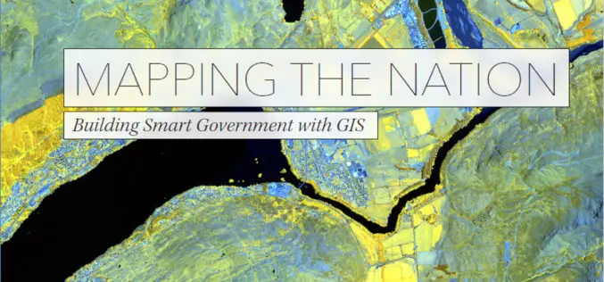
New Esri Book Shows How Government Turns Data into Meaningful Maps
Redlands, California—Mapping the Nation: Building Smart Government with GIS, a new book from Esri, illustrates the many ways government uses maps created with geographic information system (GIS) technology to create

Ordnance Survey Encourages People to Use Up-To-Date Maps with Their Trade-In Scheme
Outdoors enthusiasts can build impressive collections of Ordnance Survey maps, but it often means they’re not using the most up-to-date maps to get outside and explore Britain. Up until 20 March,
