
Tag "Pix4D"
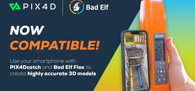
Pix4D and Bad Elf Collaborate To Offer Advanced 3D Scanning For AEC Professionals
Pix4D, a Swiss company and leading provider of drone and mobile smartphone mapping and photogrammetry solutions, announces that their smartphone scanning application PIX4Dcatch is now compatible with the Bad Elf
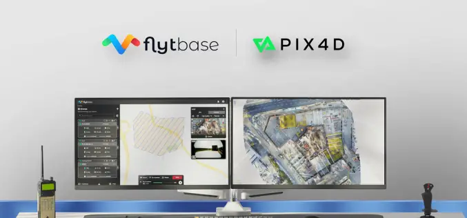
FlytBase and Pix4D Partner to Streamline Drone Data Processing Workflows
FlytBase, the leading drone autonomy software platform, announces a strategic partnership with Pix4D, the leading photogrammetry platform for terrestrial and drone mapping. This integration will enable FlytBase users to seamlessly

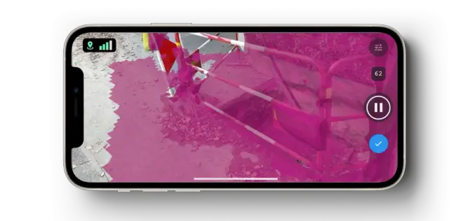
Pix4D Upgrades PIX4Dcatch with Premium Augmented Reality Features for Professional Results
Pix4D, a Swiss company and leading provider of drone and terrestrial mapping and photogrammetry solutions, announces the launch of PIX4Dcatch 2.0 today. This new and improved version of Pix4D’s terrestrial
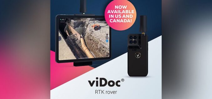
Pix4D Launches in the USA and Canada, the viDoc RTK rover, an iPhone Case that Enables Handheld Professional 3D Scanning
Pix4D, the market leader in photogrammetry solutions, has just made the viDoc RTK rover available for purchase in the USA and Canada. Already available in Europe, the German-designed rover attaches

Pix4D Announces Entering Into An Exclusive Reseller Partnership With Beijing Skymap Technology Co., Ltd. For Mainland China
Pix4D, the photogrammetry industry leader, today announced the signing of an exclusive reseller partnership with Beijing Skymap Technology Co., Ltd. a high-tech enterprise integrating software sales, service, research and development,

Pix4D Announces New Tokyo Office to Strengthen APAC Commercial Operations
Pix4D, the photogrammetry industry leader, today announced the expansion of its Tokyo office to strengthen its presence in the Asia-Pacific (APAC) market. Pix4D is reinforcing its presence in APAC, moving
Pix4D Launches New Ground Image Capture App for 3D Modeling With the iPad Pro and iPhone 12 Pro
Pix4D, the photogrammetry industry leader, announces today the release of a new app product for ground images acquisition: Pix4Dcatch. Pix4Dcatch empowers users to easily create ground-based 3D models using an
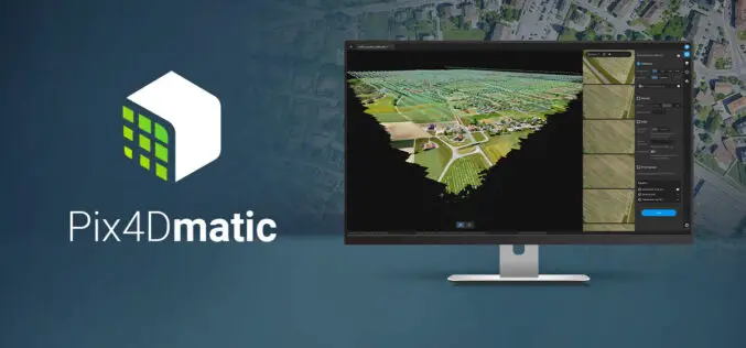
Pix4Dmatic Latest Digital Photogrammetry Software
Pix4D a leader in digital photogrammetry software provider has launched Pix4Dmatic. Pix4Dmatric software is more accurate and apt for fast corridor and large scale mapping. Pix4Dmatic is designed to work
Pix4D Announces A New Generation of Tools for Photogrammetry, Drone Mapping and Analytics
Lausanne, Switzerland, March 31st, 2020 – Photogrammetry leader Pix4D is announcing today the commercial release of next-generation software addressing the modern-day professional challenges. Developed in close collaboration with customers and
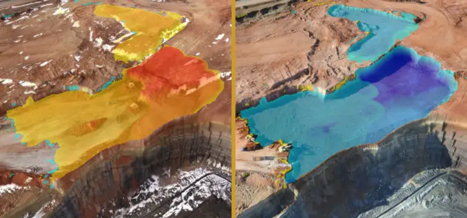
Virtual Surveyor to Unveil Enhanced Cut-and-Fill Mapping in Drone Surveying Package at InterGEO 2019
Faster, More Accurate Volume Calculations LEUVEN, Belgium, 10 September 2019 – Virtual Surveyor has added cut-and-fill mapping capabilities to Version 7.0 of its popular drone surveying package. The new functionality
