
Tag "remote sensing"
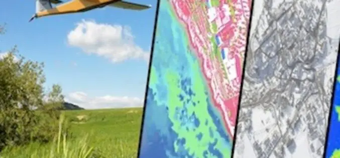
One Week Course About UAV Remote Sensing Principles
It is a one week course about state of the art remote sensing techniques using UAV aerial images. A broad board of top level UAV professionals and researchers has been
Central Silk Board Using GIS for Potential Areas for Sericulture Expansion
India- the Central Silk Board under the Ministry of Textile has taken up a project to identify potential areas for sericulture expansion using GIS and remote sensing technology. The project

Alur Seelin Kiran Kumar Takes Over as Space Secretary
Distinguished space scientist Alur Seelin Kiran Kumar took over as secretary of the department of space and chairman of the Space Commission and the state-run ISRO here. Prior to his appointment to
Call for Papers: A Special Issue of Remote Sensing of Environment on Landsat 8 Science Results
With the launch of the Landsat Data Continuity Mission (LDCM) in February 2013, the already unprecedented Landsat global record continues and could reach 50 years or longer in length.
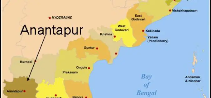
Arial Survey and Remote Sensing Technology helps in Exploration of Diamonds in Anantpur
In recent news, experts from National Mineral Development Corporation (CNMCD) and National Geophysical Research Institute (NGRI) have found another kimberlite pipe, possibly diamond bearing. Arial surveys of the region, along

UN Office Report Shows Opportunities for Remote Sensing in Humanitarian Assistance
The Policy Analysis and Innovation Section of the UN Office for Coordination of Humanitarian Affairs (OCHA) released the World Humanitarian data and Trends 2014 report, dealing with humanitarian
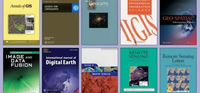
FREE Access to the Leading GIS & Remote Sensing Journals
Taylor & Francis Group partners with researchers, scholarly societies, universities and libraries worldwide to bring knowledge to life. As one of the world’s leading publishers of scholarly journals,

MUSA Earth Day Lecture: “Remote Sensing and Geospatial Tech for Sustainable Urbanization”
MUSA Earth Day Lecture: “Remote Sensing and Geospatial Tech for Sustainable Urbanization” April 22, 2015, 5:30 PM – 7:00 PM / Meyerson Hall, Lower Gallery Penn Institute of Urban Research Penn
Egypt and China to Cooperate in Space Technology
The National Authority for Remote Sensing and Space Sciences (NARSS) signed on Thursday 18/12/2014 a cooperation deal with the Chinese National Space Administration (CNSA) at the headquarters of (NARSS) to

European Space Agency App Camp Challenge
European Space Agency App Camp Challenge 25 Feb – 3 Mar 2015, Barcelona, Spain Hang on a minute – isn’t the European Space Agency a bunch of astronauts and rocket
