
Tag "Satellite Images"

GeoSynth: AI To Create Satellite Images From Text Prompts
Imagine a world where you can conjure detailed satellite images merely through verbal descriptions. This is the groundbreaking capability of GeoSynth, a generative AI-driven system transforming satellite imagery. GeoSynth’s prowess

Work Easier with Satellite Images – LandViewer Launches New Features
MENLO PARK, Calif. – The California-based company EOS have launched cloud based tool LandViewer, that allows non-expert users to select a geographic area for analysis, an earth observation data types,

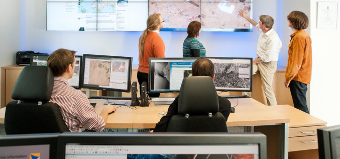
Maharashtra Forest Dept Gets New GIS Based Command Centre to Monitor Forest Reserve
Maharashtra – According to recent news by The Hindustan Times, in a first for the country, the Maharashtra State Forest Department will use real-time satellite images of all forested areas
Fifteen Years of Disaster Relief From Space – Global Patterns and Trends
14 July 2016 – Today, the analysis and use of satellite images is commonplace. Just 15 years ago, however, only a handful of specialists worked with these valuable data. Since then,
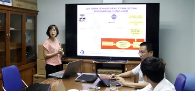
Scientists Develop Air-pollution Warning Software Using Satellite Images
Vietnam – According to recent news by the VietNamNet Bridge, Scientists from the Hanoi University of Engineering & Technology, a member school of Hanoi National University, have invented an air pollution warning
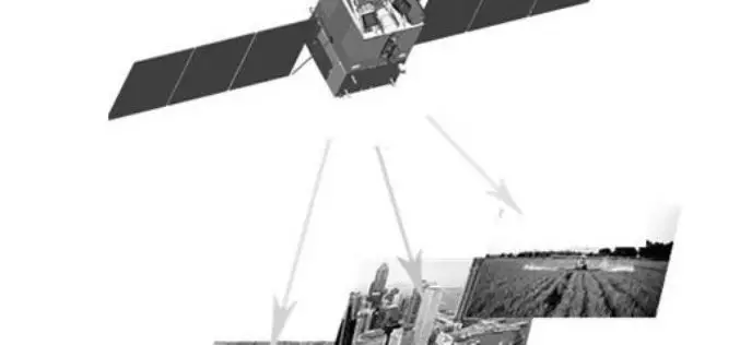
China’s First High-Resolution Satellite Maps Large Part of World
BEIJING: The Ziyuan III, China’s first high-resolution stereo mapping satellite for civilian use, has sent back visual data covering 69.45 million square kilometres of the globe since it was launched in
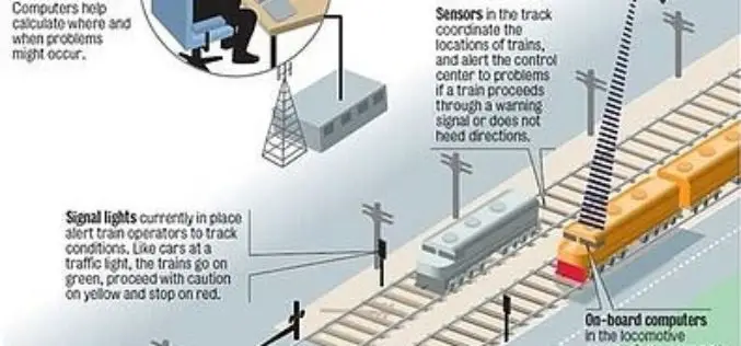
Indian Railways to Tie Up With ISRO for Enhanced Safety Using GPS Aided System (GAGAN)
Indian Railways will join hands with ISRO to get online satellite images for improving safety and enhancing efficiency. “We will undertake a massive exercise of GIS mapping of the entire

Crop Mapping Drones Win MIT $100K
Team developing drones that scan and monitor crop health takes grand prize at 25th annual competition MIT News Office , May 14, 2015 – Drones are positioned to change people’s lives, with
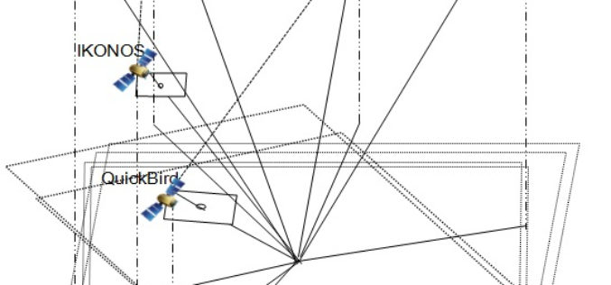
Geo Positioning Accuracy Using Multiple-Satellite Images: IKONOS, QuickBird, and KOMPSAT-2 Stereo Images
Geo-Positioning Accuracy Using Multiple-Satellite Images: IKONOS, QuickBird, and KOMPSAT-2 Stereo Images – Jaehoon Jeong, Chansu Yang and Taejung Kim Abstract: This paper investigates the positioning accuracy of image pairs achieved by integrating images
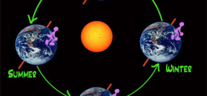
Northern Seasons are Shifting: Study
Scientists have discovered a shift in the northern seasons, with spring arriving early and autumn being delayed. Peter Atkinson, professor of geography at the University of Southampton, has examined satellite
