
Archive

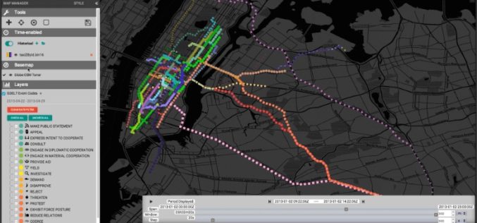
Webinar: Big Data Spatial Analytics and Geo-Dashboards
Big Data Spatial Analytics and Geo-Dashboards MARCH 3, 9am PST / 12pm EST Learn how to transform millions of assets into meaningful insights using Location Analytics. With millions or billions
GeoMesa 1.2: Now with Eclipse LocationTech Vetting!
Release 1.2 of GeoMesa, our open source suite of geospatial analytics tools designed to run with Hadoop-scale volumes of data, is now out. Along with several new features, this is

Odisha Goes for Flood Mapping
According to recent news by The New Indian Express, the Odisha State Disaster Mitigation Authority (OSDMA) has released a Flood Inundation Mapping (FIM) for Kendrapara, a coastal district of Odisha.

NEW RIEGL High-Speed Mobile Mapping Turnkey Systems Launched at ILMF 2016!
Introducing the latest advancements in RIEGL LiDAR Technology for mobile applications: NEW RIEGL High-Speed Mobile Mapping Turnkey Systems Launched at ILMF 2016! On February 22 at ILMF 2016 in Denver, RIEGL launched
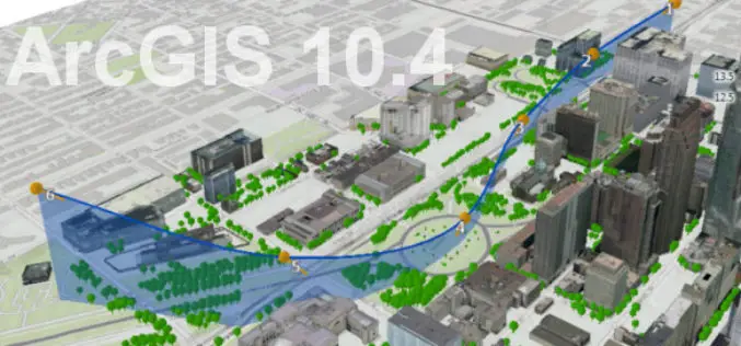
What’s New With ArcGIS 10.4?
Data Visualization, Enterprise Resiliency Lead ArcGIS 10.4 Rollout The release of ArcGIS 10.4 marks improvements in data visualization, spatial analysis, and stronger support for on-premises implementations. “This release of ArcGIS
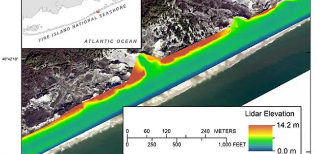
Terrestrial-based Lidar Beach Topography of Fire Island, New York
Abstract: The U.S. Geological Survey (USGS) St. Petersburg Coastal and Marine Science Center (SPCMSC) in Florida and the USGS Lower Mississippi-Gulf Water Science Center (LMG WSC) in Montgomery, Alabama, collaborated to
ISRO to Double Missions to 12 Per Year
Having launched 55 missions in space in the last five years, the national space agency ISRO is looking at doubling the number of missions in the next five years to

New YellowScan Surveyor, the World’s Lightest and Most Accurate LiDAR Solution
New YellowScan Surveyor: World’s lightest and most accurate LiDAR solution for Civil Engineering & Mining professionals Denver, CO, USA – February 22, 2016 – YellowScan is pleased to announce the
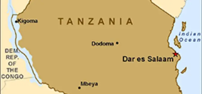
Tanzania Introduces Remote Sensing Technology for Crop Monitoring
The National Food Security Division in the Ministry of Agriculture Livestock and Fisheries in collaboration with the Sokoine University of Agriculture (SUA) and University of Maryland (USA) is implementing a
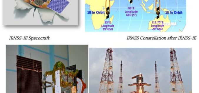
Towards Self Reliance in Satellite Navigation-IRNSS
Indian Regional Navigation Spacecraft System (IRNSS) is the Indian navigation system which envisages establishment of regional navigation system using a combination of GEO and GSO spacecraft. IRNSS system is expected
