
Posts From GIS Resources
WHO Africa Unveils Geodatabase to Boost Data-Driven Health Decisions
The World Health Organization Regional Office for Africa (WHO AFRO) has launched a new AFRO Geodatabase (AFRO GDB), marking a major step toward improving how countries collect, manage, and use
NASA ARSET Training Opportunity for Coastal Mapping: Coastal Laser-Altimetry
The NASA Applied Remote Sensing Training Program (ARSET) is inviting remote-sensing professionals and geospatial analysts to join a live online training titled “NASA Satellite Laser Altimetry for Coastal and Near-Shore

RICS Unveils First Global Standard for Responsible AI in Surveying
The Royal Institution of Chartered Surveyors (RICS) has introduced a landmark global framework to guide the responsible use of AI in surveying practice, marking a major shift in how digital

MapmyIndia Expands Government Reach Through Digital Mapping Partnership
India’s geospatial ecosystem is set for a major upgrade as MapmyIndia Mappls enters two strategic agreements with the Survey of India and Indian Oil Corporation Ltd (IOCL). The move signals
Survey of India Moves to Build a National Geo-Spatial Platform
The Survey of India (SoI) has signed a key agreement with C.E. Info Systems Pvt. Ltd. to build a cutting-edge national geo-spatial platform. This initiative is a central pillar in
ISRO Develops Chemical Emergency Response System for Kerala
In a major leap toward industrial safety and digital disaster management, the Government of Kerala has launched the Remote sensing enabled Online Chemical Emergency Response System (ROCERS) on October 11,
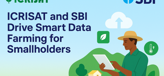
ICRISAT and SBI Drive Smart Data Farming for Smallholders
A major initiative in smart data farming has been launched. The SBI Foundation, together with the International Crops Research Institute for the Semi‑Arid Tropics (ICRISAT) and the University of Agricultural
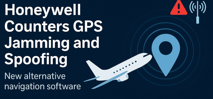
Honeywell’s New Software Tackles GPS Jamming and Spoofing
Honeywell introduced a new alternative navigation software aimed at protecting aircraft, drones and surface vehicles from increasing threats to satellite-based positioning. The product responds directly to growing concerns about GPS
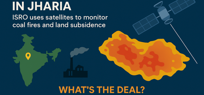
Satellite Fire Mapping Brings New Hope for Jharia’s Coalfield Crisis
Indian Space Research Organisation (ISRO) has entered a pivotal collaboration to employ advanced remote sensing for the long-standing problem of the Jharia Coalfield. The joint initiative marks a major step
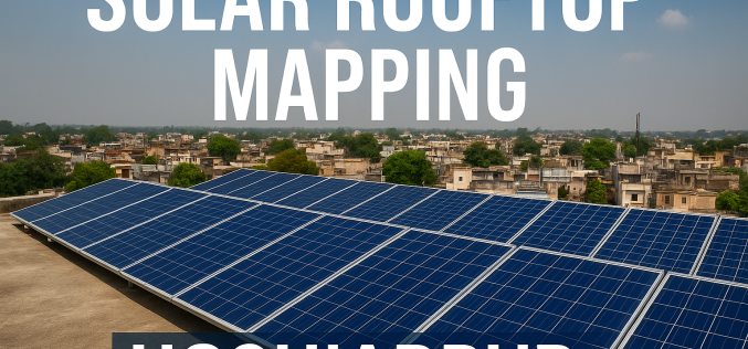
Hoshiarpur’s Drive for Solar Rooftop Mapping Strengthens Clean Energy Plan
The district administration of Hoshiarpur, Punjab, has entered into a new collaboration with the Bengaluru-based think tank Centre for Study of Science, Technology and Policy (CSTEP) to advance its clean
