GIS
MoU Signed Between Iran and Tajikistan to Promote Geomatic Sciences Research
Iran and Tajikistan have taken a significant step to enhance their cooperation in the field of geomatic sciences by signing a memorandum of understanding (MoU). The agreement, which was signed
Karnataka to Implement GIS for Streamlined Construction Cess Collection
The Karnataka state government is set to implement a GIS-based construction cess collection system. It is a strategic move to enhance revenue collection and streamline administrative processes. This initiative aims
Call for Proposals for Geospatial Technology and Solutions: Impact and Importance for India’s Future
The National Geospatial Programme (NGP) division, formerly NRDMS, calls for proposals in Geospatial Technology and Solutions that have the potential to impact various sectors in India significantly. The National Geospatial
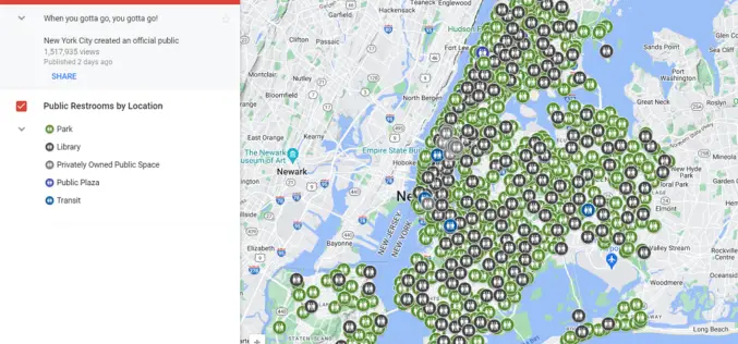
Google Maps Now Shows Public Toilets in New York City
New York City (NYC) has implemented a new layer on Google Maps to display public restroom locations, addressing the ongoing challenge of finding accessible restrooms across the city. The official
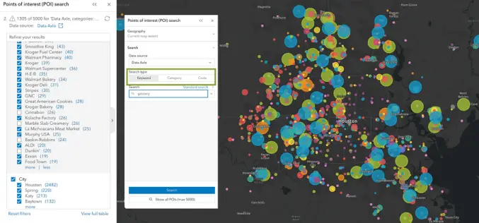
Unveiling the Latest Enhancements in ArcGIS Business Analyst Enterprise: May 2024 Update
Esri has announced an exciting array of updates in the May 2024 release of ArcGIS Business Analyst Enterprise, enhancing its capabilities for businesses seeking to leverage geographic data for better
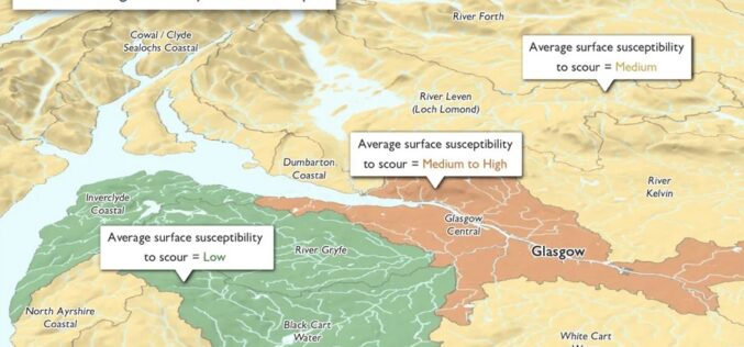
Ordnance Survey Expands as a Distributor of Third-party Government Data
Ordnance Survey (OS), Great Britain’s leading geospatial data provider, and BGS, the UK’s leading scientific earth data provider, both Geo6 members, are driving an exciting new development. It is the
GAF AG Awarded Contract for CAP-Area Monitoring 2024 in Bavaria
As part of an ongoing process of reforms to modernise and simplify the EU’s CAP, since January 2023 the monitoring of subsidy payments has been carried out on the basis
What Are the Uses of GIS for Business?
Like other modern industries, Geographic Information Systems (GIS) have gained popularity in the business world these days. GIS has proven to be useful and has gained traction in many areas


