
Tag "China"
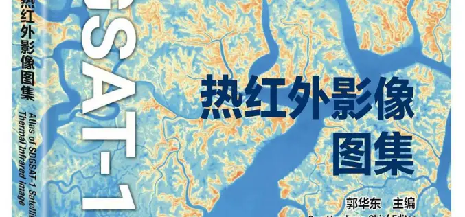
China Unveiled World’s First Thermal Infrared Atlas
China has made a groundbreaking contribution to global sustainability efforts by releasing the world’s first Thermal Infrared Atlas. The atlas was launched during the 4th International Forum on Big Data

How Spatial-Temporal Data Revealed Hepatitis B Patterns in China
Hepatitis B virus (HBV) infection remains a significant public health concern in China, a country with one of the highest burdens of this disease worldwide. Despite ongoing efforts to control

Understanding China’s BeiDou-Only Mandate: Strategic and Global Implications
According to recent news by MSN, China is launching a new campaign to crack down on the theft of sensitive geographical data by foreign powers with its BeiDou-only mandate, the
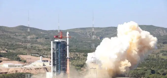
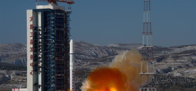
China Launches Hyperspectral Remote Sensing Satellite – Gaofen-5 02
China successfully launched the Gaofen-5 02 into space from the Taiyuan Satellite Launch Center in northern Shanxi Province on September 07, 2021. The satellite was launched using the Long March-4C
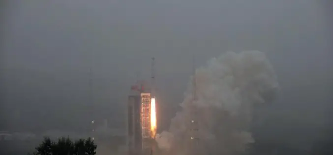
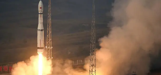
China Launches Two Microwave Satellite System – Tianhui 2
China successfully launched the Tianhui 2 microwave surveying satellite system using a Long March-4B carrier rocket that blasts off from the Taiyuan Satellite Launch Center in north China’s Shanxi Province,

Russia, China Agreed to Hold Experiments to Increase Satellite Data Accuracy
Moscow, July 5. /TASS/. Russia’s State Space Corporation Roscosmos and the China National Space Administration (CNSA) have agreed to hold an experiment before October 1 to use testing grounds for
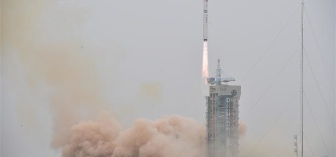
China Launched the Fourth in a Series Land Survey Satellite
According to recent news by Spaceflight Now, China has returned to action on March 17, 2018, with a Long March 2D rocket blasting off from Jiuquan, marking the country’s eighth space launch

China Plans to Launch 60 High-resolution Video Satellites by 2020
China plans to launch 60 high-resolution Jilin-1 video satellites by 2020, the satellite developer said. The high-resolution optical remote sensing satellites were independently developed by Chang Guang Satellite Technology Co. Ltd.
China Launches 2 Remote Sensing Satellites
JIUQUAN, 19 January (BelTA – Xinhua) – China launched two high-resolution optical remote sensing satellites into a preset orbit from the Jiuquan Satellite Launch Center in northwest China. The two
China Launches Two SuperView-1 Remote Sensing Satellites
According to recent news reported by the Xinhua, China launches SuperView-1 03/04, a pair of 0.5-meter high-resolution remote sensing satellites, from the Taiyuan Satellite Launch Center in north China’s Shanxi Province, Jan.
