
Tag "LiDAR"
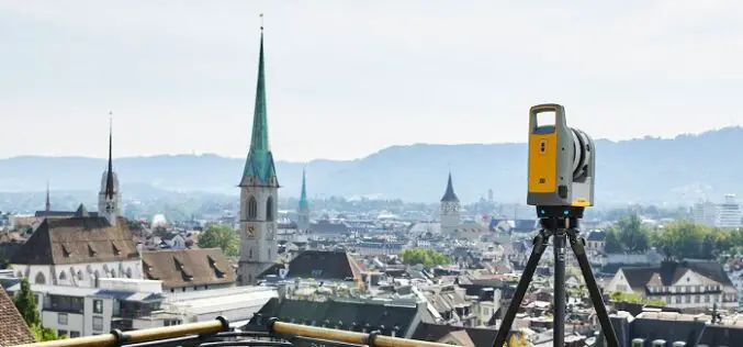
Trimble X7 and Perspective 3D Scanning Solution Garners Three International Design Awards
Solution’s Complete and Simplified Design by Global Team is Lauded by Judges Trimble (NASDAQ: TRMB) announced today that the Trimble® X7 and Perspective 3D Scanning Solution has received three international
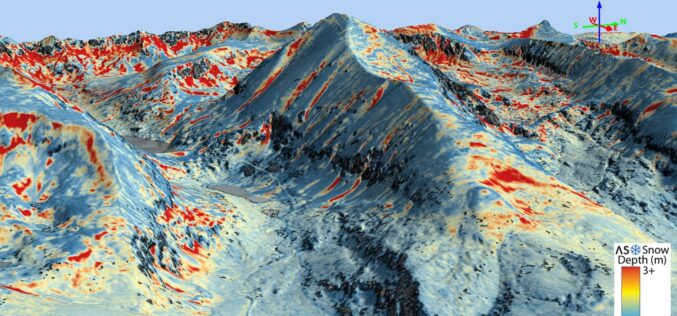
Airborne Snow Observatories, Inc. Takes Delivery of the All-New Cutting-Edge RIEGL VQ-1560 II-S LiDAR System
Airborne Snow Observatories, Inc. has just taken delivery of one of the first in North America cutting-edge RIEGL VQ-1560 II-S airborne laser scanners, just as the ASO program at NASA
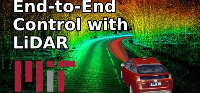
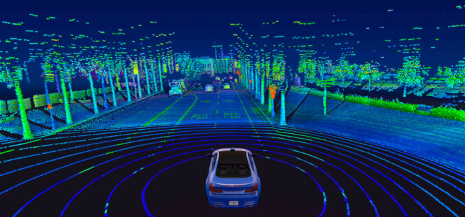
How MIT using LiDAR and ML for More Efficient Self-driving Car?
A LiDAR (Light Detection and Ranging) system beams light out and then precisely monitors the timing of reflections to map and track objects within its detection range. A LiDAR instrument principally
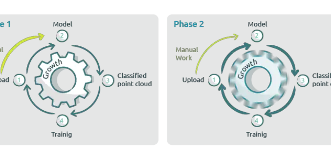
New Pointly AI Training Service for Efficient Point Cloud Classification
Pointly recently introduced a new AI Training Service to extend their Pointly Service offering. This Service offers you not only automated and customer-specific classifications of point clouds but also tailor-made
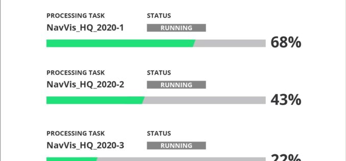
NavVis Introduces Cloud Processing for Even Faster Laser Scanning Workflows
From processing to viewing, with NavVis it can now be done entirely in the cloud. NavVis, an innovator in indoor mobile mapping, today introduced the Cloud Processing Add-on for NavVis
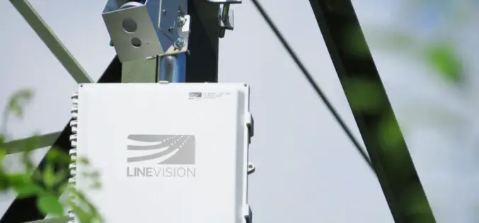
LiDAR Sensor to Protect Vital Electrical Utilities
Velodyne and LineVision have signed an agreement to provide sensors to protect electric utilities and help to improve electric utility operations.
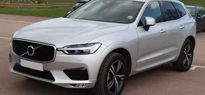
Upcoming Self-Driving Volvo Cars to be Supported by LiDAR for Safety
In collaboration with technology firm Luminar, leading automobile manufacturer Volvo is releasing a new car in a couple of years with cutting-edge perception technology that could finally see self-driving cars on public roads.
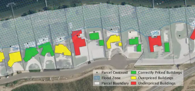
Startup EarthDefine Uses AI for Building Footprint Geocoding
EarthDefine, a provider of high-resolution geospatial spatial data that uses artificial intelligence (AI) to analyze aerial and LIDAR imagery, today announced the release of an updated building footprint database, which
Velodyne LiDAR Announces Three-Year Sales Agreement with Baidu
Velodyne LiDAR, Inc. (Nasdaq: VLDR) today announced a three-year sales agreement with Baidu for its Alpha Prime™ LiDAR sensors. The Alpha Prime LiDAR sensors will be utilized for autonomous applications. Velodyne’s low-cost, high-scale
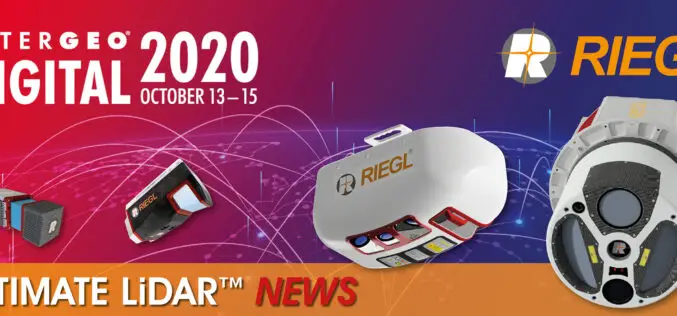
INTERGEO 2020 DIGITAL, October 13-15, 2020: RIEGL Presents Their New Products 2020
2020 is a very special year – COVID-19 has taught us to think in new dimensions and to work in new spheres. Nevertheless, RIEGL does not want to break with
