
Tag "remote sensing"

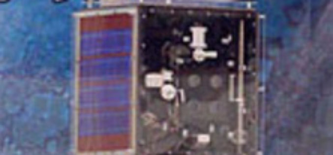
25 Years Ago – Europe’s First Earth Observation Satellite Was Launched
• First European radar satellite ERS-1 revolutionised satellite Earth observation by revealing never before seen details • ERS satellite programme laid the foundations for modern radar satellite technology and applications
Iran to Launch up to Two Satellites by the End of This Persian Year
According to recent news by the TECHRASA, the Head of Iranian Space Agency had recently announced that Iran would launch up to two satellites by the end of this Persian year.

China Developing Water Cycle Observation Satellite to Monitor Hydrological Events
According to recent news by PTI, China will launch its first geoscientific satellite by 2020 for forecasting hydrological events, including floods and droughts. China announced its plans for the Water
Hexagon Showcases Geospatial Enterprise Solutions at ISPRS 2016
Hexagon AB, a leading global provider of information technologies that drive productivity and quality across geospatial and industrial enterprise applications, will showcase its geospatial enterprise solutions at XXIII ISPRS (International
Copernicus Thematic Workshop With Private Sector Representatives on Raw Materials and the Extractive Industries
Copernicus Thematic Workshop With Private Sector Representatives on Raw Materials and the Extractive Industries Copernicus is a user-driven programme with an important impact on different societal areas involving diverse communities
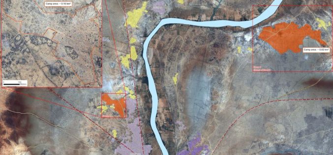
Technologies for Humanitarian Assistance
The German Aerospace Center (Deutsches Zentrum für Luft- und Raumfahrt; DLR) has been actively involved in humanitarian aid for many years. Alongside government partners, the private sector and scientific institutions,
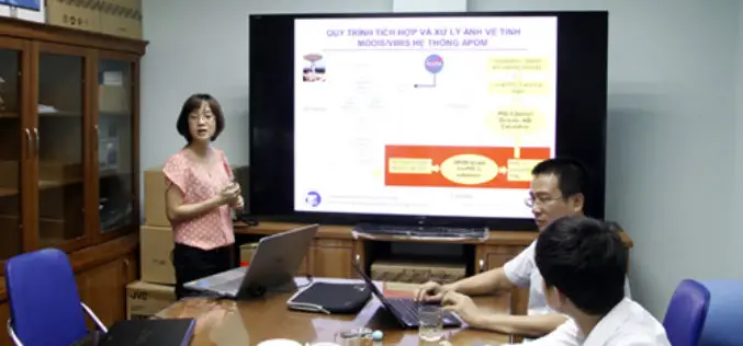
Scientists Develop Air-pollution Warning Software Using Satellite Images
Vietnam – According to recent news by the VietNamNet Bridge, Scientists from the Hanoi University of Engineering & Technology, a member school of Hanoi National University, have invented an air pollution warning
China Estimates Decline in Summer Crop Yield
According to recent news by The Institute of Remote Sensing and Digital Earth (RADI) under the Chinese Academy of Sciences (CAS), China’s summer crop yield is set to drop for

EUFAR/ ESA Expert Workshop on Atmospheric Correction of Remote Sensing Data
An expert workshop on atmospheric correction of remote sensing data will be held from 26 to 28 October 2016 at the Harnack Haus of the Max Planck Society, in Berlin, Germany.

Use Modern Technology for Timely, Accurate Agriculture Data
New Delhi, Jun 29 (PTI) With time lag in agri-data hindering the policy making process, Agriculture Minister Radha Mohan Singh today asked the Statistics Ministry to use modern technologies like
