
Tag "remote sensing"
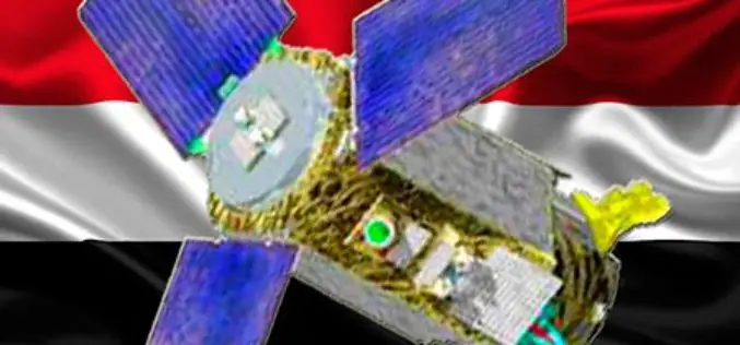
Egypt: Russia to Launch EgyptSat-2 Remote Sensing Satellite
According to The Cairo Post, Egypt and Russia will sign a contract in late 2015 to establish a new Egyptian satellite for remote sensing, Vladimir Solntsev, head of Korolev Rocket
Russia Plans to Create Renewed Earth Remote Sensing System
According to recent news in TASS, Russia is planning to create a renewed system of Earth’s remote sensing. Russian Deputy Prime Minister Dmitry Rogozin said, “we plan to create a renewed system
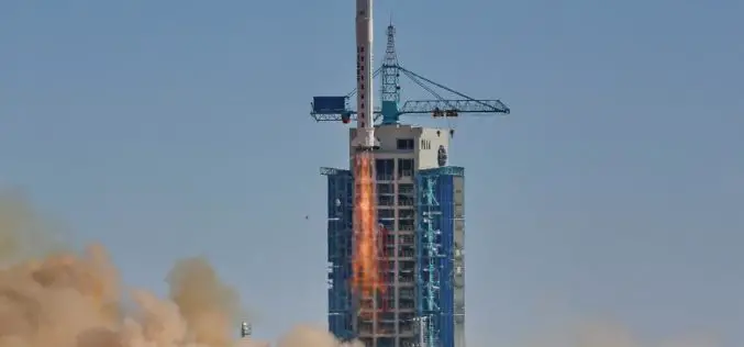
China Launches Tianhui-1 Remote Sensing Satellite
Beijing: China has successfully sent its third mapping satellite of the Tianhui-1 series into orbit on Oct. 26, 2015. Tianhui-1 will enhance the country’s ability to carry out scientific research, mapping and disaster
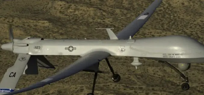
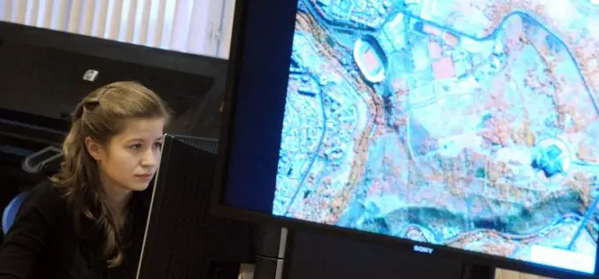
Drone Bombings in the Federally Administered Tribal Areas: Public Remote Sensing Applications for Security Monitoring
Drone bombing, as a US defense strategy in Pakistan, began under the George W. Bush administration as part of the “US War on Terrorism” and aimed to defeat Taliban and
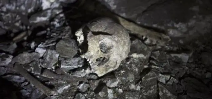
Satellite Imaging Helps to Find Site of Human Sacrifice
In recent news by EL PAIS, a team of Spanish scientist and researchers led by the writer and explorer Miguel Gutiérrez Garitano have just returned to Vitoria and shocked of
Belarus and Russia Partners to Define Specifications for a New Belarusian Remote Sensing Satellite
According to recent new by Sputnik, Belarus and Russia has joined their hands to announce technical specifications for a new Belarusian remote sensing satellite. President of the Belarusian Academy of Sciences Vladimir
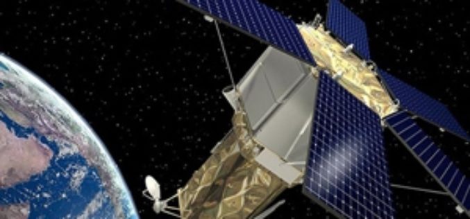
Taiwan to Launch FORMOSAT-5 Satellite in February 2016
The FORMOSAT-5 satellite has passed space environment and function tests and is expected to be launched at the end of February 2016. The FORMOSAT-5 will replace FORMOSAT-2. The biggest difference
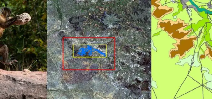
Remote Sensing Technology Is Used to Map Monkey with Hominid like Behavior
Biologists are fascinated by the applications of remote sensing and geographic information system (GIS) to the characterization of wildlife habitats as an area of growing significance for conservation. “Remote sensing
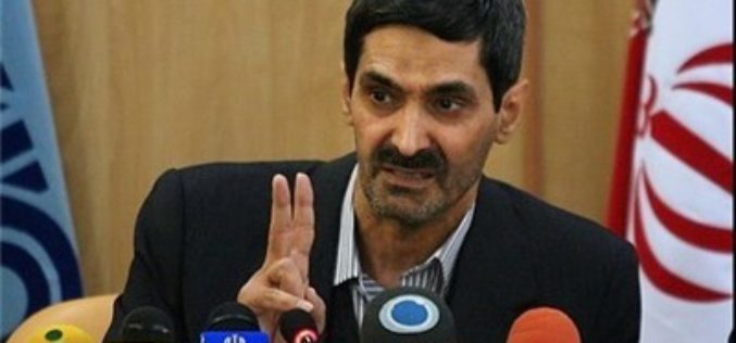
Iran to Launch Indigenous Built Remote Sensing Satellite Next Year
According to the latest news by Tasnim News Agency, Iran plans to send its first indigenous built remote sensing satellite “Tolou 1” into orbit by the first half next year.
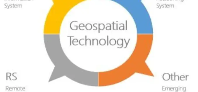
Geospatial Technologies Picking Up Greater Momentum
With the advancement in Remote Sensing and development in Geographic Information System and Global Positioning System, the applications of Geospatial Technologies in various fields have picked up greater momentum, a
