
Tag "remote sensing"
Graduate Degree Track in Applied Remote Sensing by the University of Miami
The University of Miami is one of the largest private research institutions in the southeastern United States. The University’s mission is to provide quality education, attract and retain outstanding students,
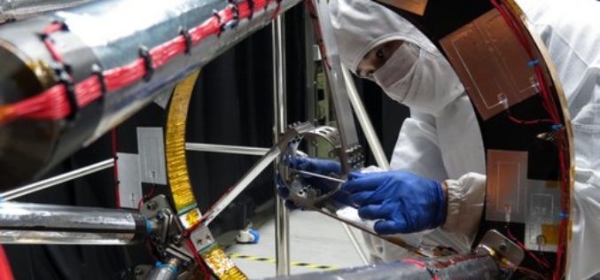
Taiwan has Indigenously Built its First Optical Remote Sensing Instrument for FORMOSAT-5 Satellite
In recent news from Focus Taiwan, the National Applied Research Laboratories (NARLabs) of Taiwan, announced that country has indigenously built the first optical remote sensing instrument (RSI) in Taiwan that
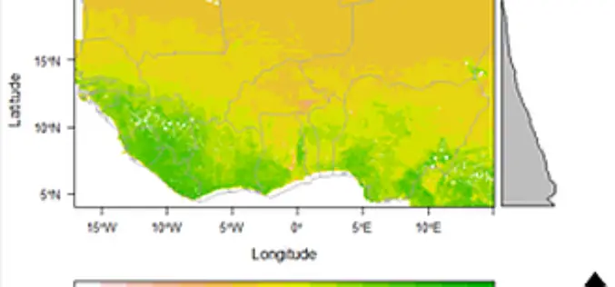
Space Technology Identifies Vulnerable Regions in West Africa
University of Leicester researchers in collaboration with NASA use satellites to map land degradation in Sub-Saharan West Africa A group of international researchers led by the Centre for Landscape and
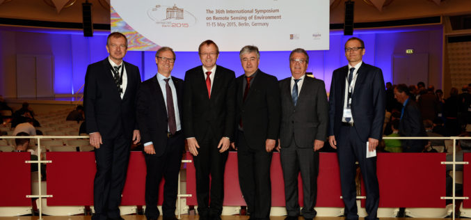
Satellites – A Reliable Source for Earth Observation
ISRSE – 750 experts meet in Berlin to discuss trends and challenges in remote sensing How is the ozone layer changing? What is the distribution of trace gases in Earth’s
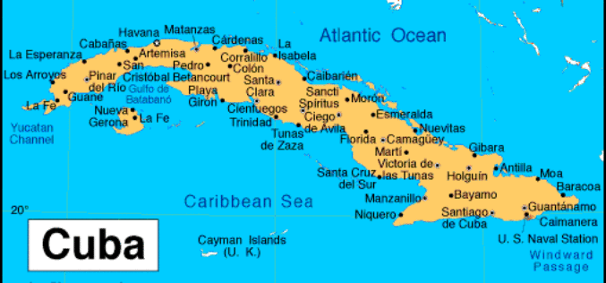
Cuba Promotes Use of Satellite Remote Scanning and Detecting
Havana, May 7 (Prensa Latina) Cuba shows a sample called “A Look to the Outer Space”, which promotes the use of satellite remote scanning and detecting to be used for
International Training Course On “Ocean Colour Remote Sensing – Data, Processing and Applications” Organized by ITCOcean & ESSO-INCOIS
International Training Course On “Ocean Colour Remote Sensing – Data, Processing and Applications” Organized ITCOcean and ESSO-INCOIS, Hyderabad, India November 10-14, 2014 Indian National Center for Ocean Information Service (INCOIS) under Earth

NASA Training on Remote Sensing Observations for Flood Management
The goal of the NASA Applied Remote Sensing Training (ARSET) is to increase the utility of NASA earth science and model data for policy makers, regulatory agencies, and other applied

PCI Geomatics Announces Release of Geomatica 2015
MARKHAM, Ontario, Canada—April 28, 2015: PCI Geomatics, a world leading developer of geo-imaging software and systems, today announces the release of Geomatica 2015; the latest version of the company’s complete

2 PhD Positions in SAR Remote Sensing at the University of Zurich
The University of Zurich is one of the leading research universities in Europe and offers the widest range of study courses in Switzerland. The University of Zurich and Eawag provide generous research support,
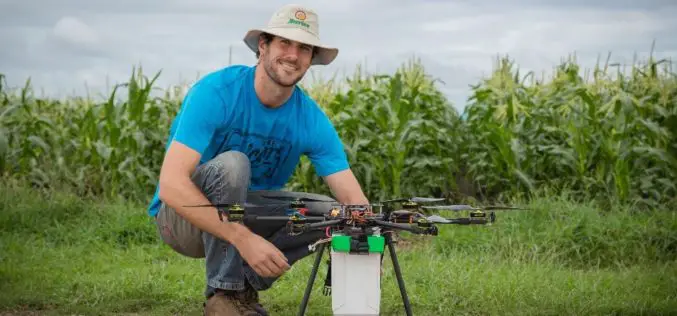
Drone to Spread Beneficial Bugs on Crop
University of Queensland agricultural science student Michael Godfrey has developed a drone that spreads beneficial insects onto crops, potentially saving farmers time and money. During his Summer Science Scholarship, Mr
